Art Institute of Chicago
The "Vermillion Cliff," a typical plateau edge, as seen from Jacobs Pool, Arizona. From its top a plateau stretches to the right, and from its base another to the left. Their difference of level is 1.500 feet, and the step is too steep for scaling, No. 15 from the series "Geographical Explorations and Surveys West of the 100th Meridian"
William H. Bell (American, 1830–1910)LinkedCulture matchlcp-cfacf4dfa0a2
- Date
- 1872
- Medium
- Albumen print, stereo
- Culture
- United States
- Department
- Photography and Media
- Institution
- Art Institute of Chicago
- Object ID
- 210804
The authoritative record is held by Art Institute of Chicago. LinkedCulture surfaces this object and its connections; it does not alter institutional metadata.
Get printable QR codesHide QR codes
Open QR codes for this object page and the museum record. They stay collapsed until needed.
Provenance & credit
As published by the source institution. Coverage varies — not every institution's open-data feed includes ownership history.
- Credit line
- Photography Gallery Fund
Linked open data
Authority identifiers that link this record into the wider web of cultural data — stable references you can follow to the source.
- Object type
- AAT300046300
Related across collections
Semantically similar works from Art Institute of Chicago and other institutions.
The "Vermilion Cliff", a typical plateau edge as seen from Jacob's Pool, Arizona...difference of level is 1,500 feet...
Getty Museum
#d2d8b48b-413a-4d5b-a961-20a84fe1346a
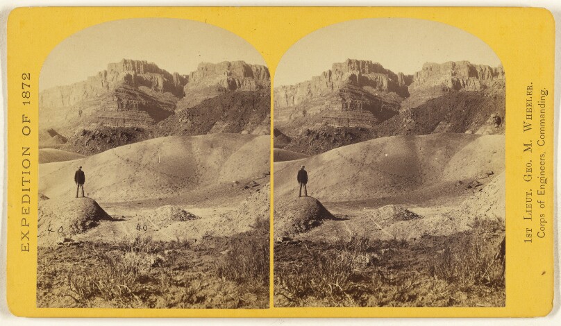
Near Jacob's Pool, in northern Arizona. The cliff in the background is 1,500 feet high, the steep part..red Triassic sandstone..
Getty Museum
#ba27f722-7a64-40f8-b1e3-92fac3acedd4
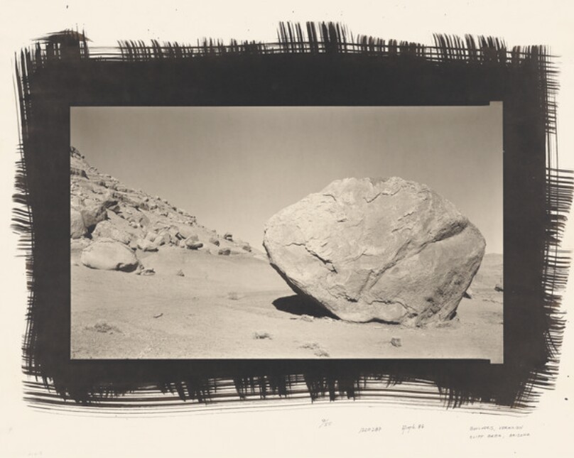
Boulders, Vermilion Cliff Area, Arizona
Getty Museum
#5decfa4c-5018-48cc-8696-cb3e7b15b943
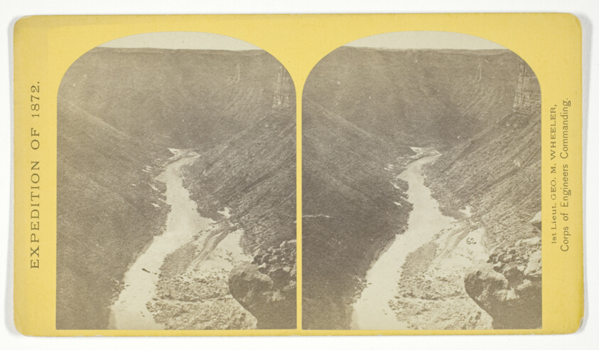
Marble Cañon, one of the gorges of the Colorado here, 1.200 feet deep. The steep cliff is gray limestone and the slope below a brilliant red sandstone, No. 13 from the series "Geographical Explorations and Surveys West of the 100th Meridian"
Art Institute of Chicago
#210806
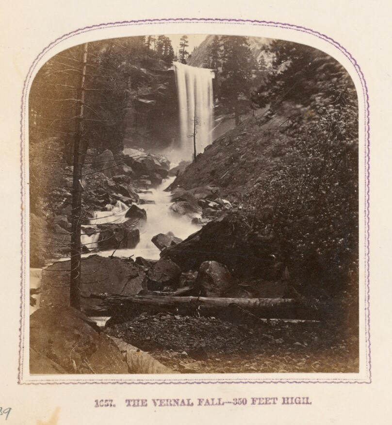
The Vernal Fall - 350 feet high
Getty Museum
#b197f345-8beb-4589-b071-0a9a21328624
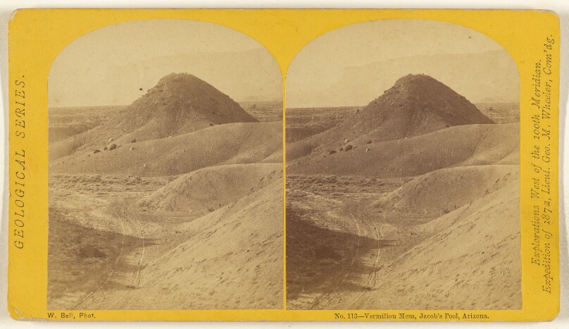
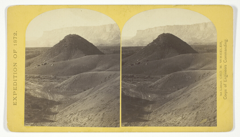
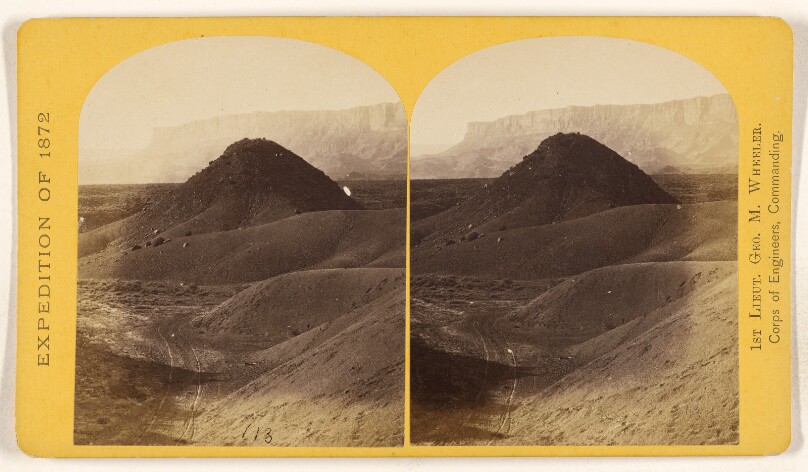
Vermilion Mesa, Jacob's Pool, Arizona.
Getty Museum
#3aafbb35-1db2-4093-9655-470a134f2667
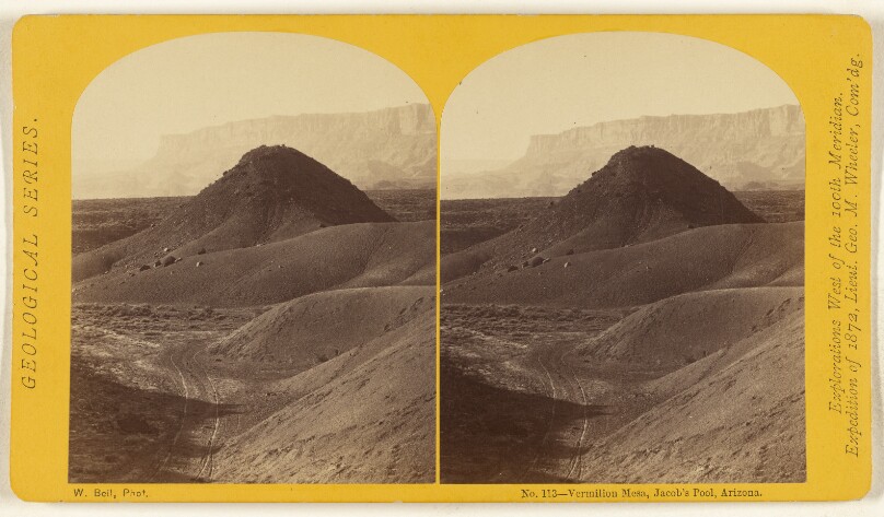
Vermilion Mesa, Jacob's Pool, Arizona.
Getty Museum
#0d458256-9b1b-4236-a467-88079743c6c5
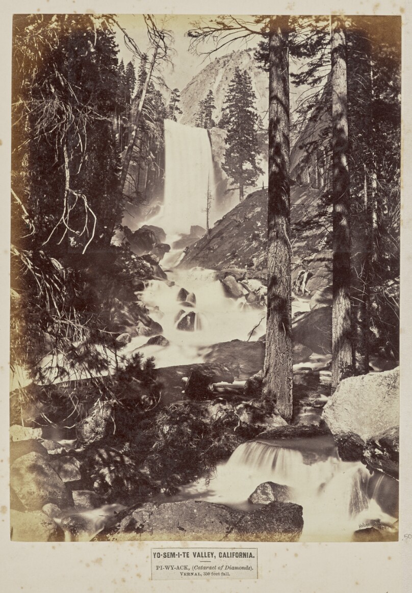
Yo-sem-i-te Valley, California. Pi-wy-ack, (Cataract of Diamonds). Vernal, 350 Feet Fall
Getty Museum
#e29ec1d5-b836-47ba-b511-e18da414aa82
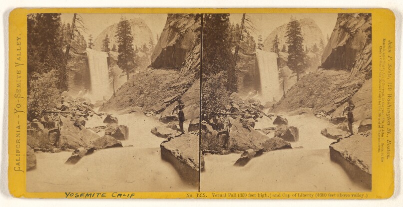
Vernal Fall, (350 feet high,) and Cap of Liberty (4600 feet above valley.)
Getty Museum
#4b58920b-0431-4037-9a78-ff3a8dff195c
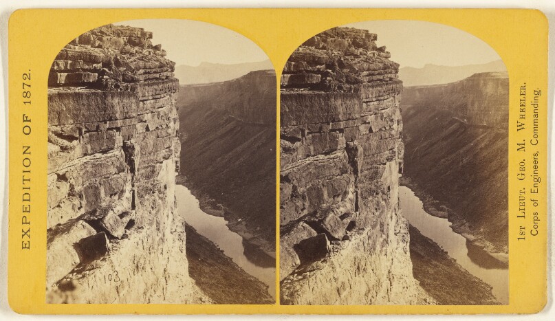
Marble Canon, one of the gorges of the Colorado, here 1,200 feet deep. The steep cliff is gray limestone...slope..red limestone.
Getty Museum
#4f4ca651-6009-4def-bce9-772b3b314921
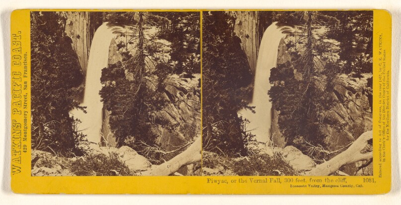
Piwyac, or the Vernal Fall, 300 feet, from the cliff, Yosemite Valley, Mariposa County, Cal.
Getty Museum
#724a6c38-2c81-4acf-963c-608cda761ba6
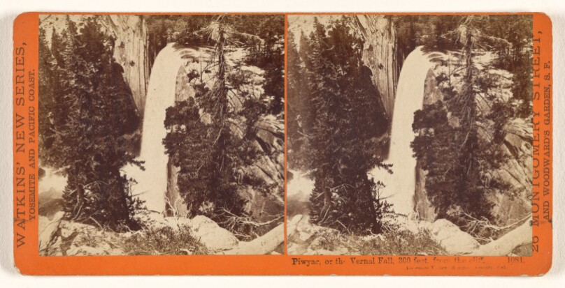
Piwyac, or the Vernal Fall, 300 feet, from the cliff, Yosemite Valley, Mariposa County, Cal.
Getty Museum
#15296e42-d6c7-4415-ab87-fdf9b9802f2a