Getty Museum
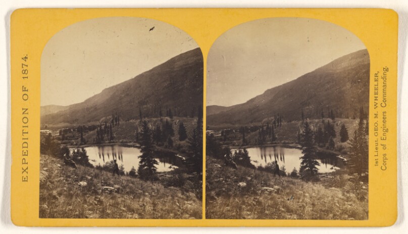
Beaver Lake, Conejos Canon, Colorado, 9,000 feet above sea-level, and 30 miles from mouth of Canon.
Creator
Timothy H. O'SullivanAmerican Photographer · 1840–1882
All works by this person →Timothy H. O'Sullivan began his photography career as an apprentice to Mathew Brady, but he left the Brady gallery to photograph American Civil War battlefields on his own. In 1862 or 1863, he joined the studio of Alexander Gardner, who included forty-four of O'Sullivan's photographs in *Gardner's Photographic Sketch Book of the War*, the first published collection of Civil War photographs. O'Sull
More on Getty ULAN- Date
- 1874
- Medium
- Albumen silver print
- Culture
- American
- Department
- Photographs
- Institution
- Getty Museum
- Object ID
- 73aa440d-caa2-4c61-a862-be71783b4cf1
The authoritative record is held by Getty Museum. LinkedCulture surfaces this object and its connections; it does not alter institutional metadata.
Get printable QR codesHide QR codes
Open QR codes for this object page and the museum record. They stay collapsed until needed.
Related across collections
Semantically similar works from Getty Museum and other institutions.
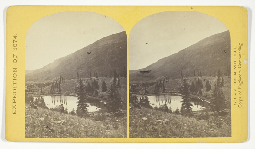
Beaver Lake, Conejos Cañon, Colorado, 9.000 feet above sea-level, and 30 miles from mouth of Cañon, No. 35 from the series "Geographical Explorations and Surveys West of the 100th Meridian"
Art Institute of Chicago
#210799
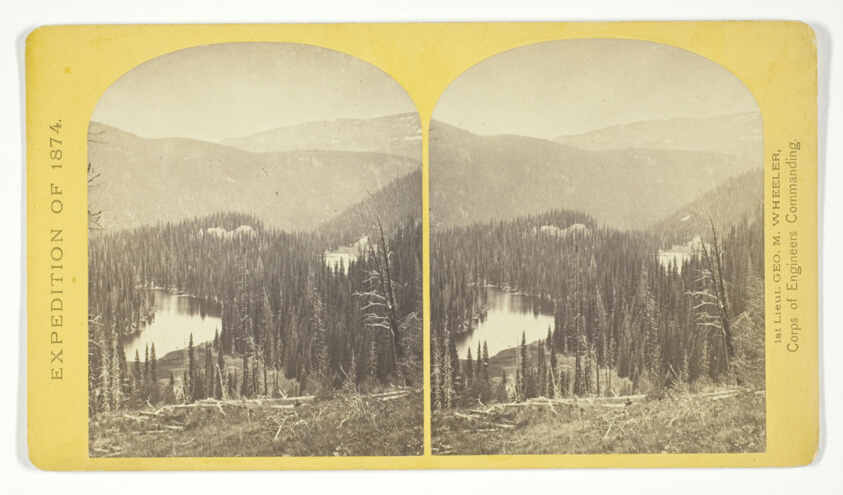
Lost Lakes, head of Conejos Cañon, Colorado, in the Sierra San Juan range, near divide between Conejos and south fork of Alamosa Rivers, surrounded by forest of Douglass spruce, and approximately 11.000 feel above sea-level, No. 37 from the series "Geographical Explorations and Surveys West of the 100th Meridian"
Art Institute of Chicago
#210797
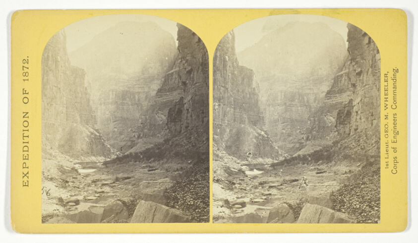
The mouth of Kanab Creek. The beds of the Colorado River and its tributary here lie in gorges cut by the running water to the depth of about 3.500 feet below the general surgace of the country. The highest point seen in the picture is 2.500 feet above the water, and the walls are here too steep to be scaled, No. 10 from the series "Geographical Explorations and Surveys West of the 100th Meridian"
Art Institute of Chicago
#210803
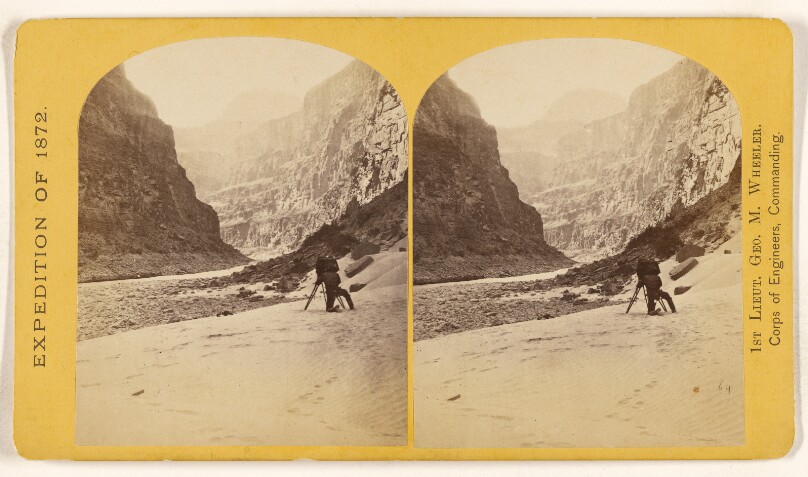
The Grand Canon of the Colorado, near the mouth of Kanab Creek. The river has here cut its channel about 3,500 feet below..level
Getty Museum
#decaabf7-b7ef-41f2-8276-3284d8f006ac
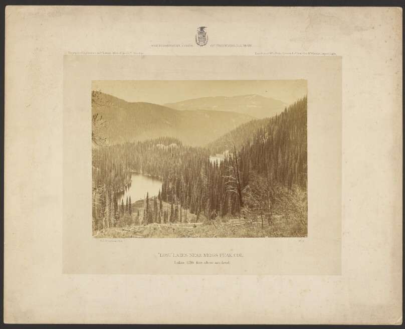
"Lost" Lakes, Near Meigs Peak, Colorado. Lakes 9,500 Feet Above Sea Level.
Getty Museum
#07025c6c-e03f-4518-8d62-cddc506f814c
![Boulders. This canon is 140 1/2 miles in length and from 300 to 3,000 feet deep. [Colorado River. Glen Canon]](/api/proxy-image?url=https%3A%2F%2Fmedia.getty.edu%2Fiiif%2Fimage%2F962128ab-bbb3-429f-9a32-e13b3be0e859%2Ffull%2F808%2C%2F0%2Fdefault.jpg)
Boulders. This canon is 140 1/2 miles in length and from 300 to 3,000 feet deep. [Colorado River. Glen Canon]
Getty Museum
#3f080fb5-32f5-4f65-8282-e28e45788e8b
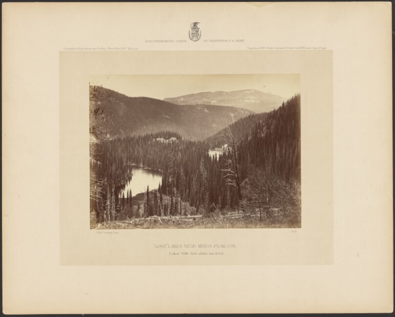
"Lost Lakes," Near Meigs Peak, Colorado, Lakes 9,500 Feet Above Sea Level
Getty Museum
#70fc454f-bcfa-4891-92df-4f9c2970aced
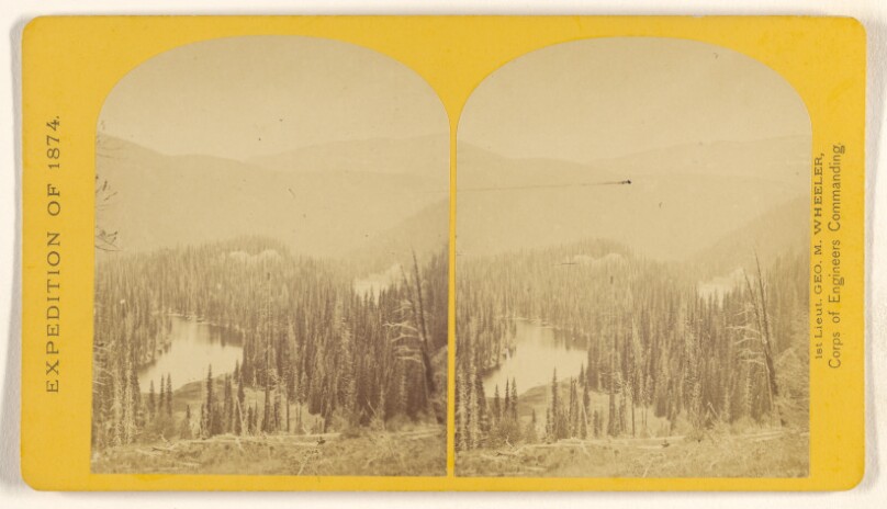
Lost Lakes, head of Conejos Canon, Colorado, in the Sierra San Juan range, near divide between Conejos and south fork of Alamosa
Getty Museum
#fe8c8e6a-853f-4b00-a8f9-289af17cb2c1
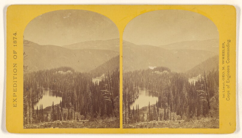
Lost Lakes, head of Conejos Canon, Colorado, in the Sierra San Juan range, near divide between Conjeos and south fork...
Getty Museum
#04802540-d79a-4000-b94e-4815d52bc3a3
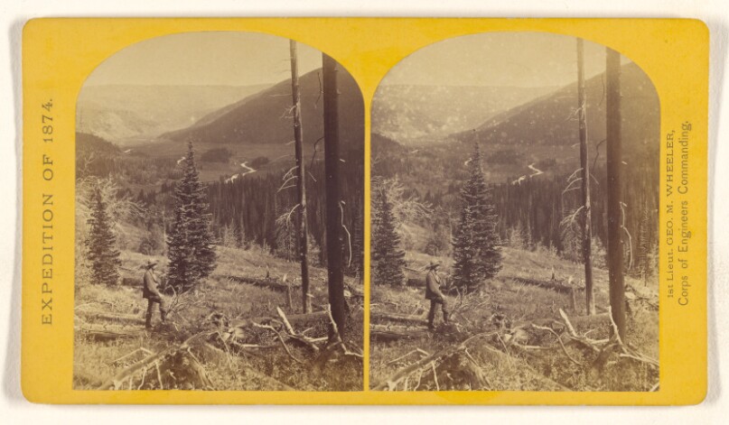
Canon, Valley of the Conejos River, looking south from vicinity of "Lost Lakes."
Getty Museum
#82e6d5f8-78e0-4f54-bc81-99b65e6f66b8
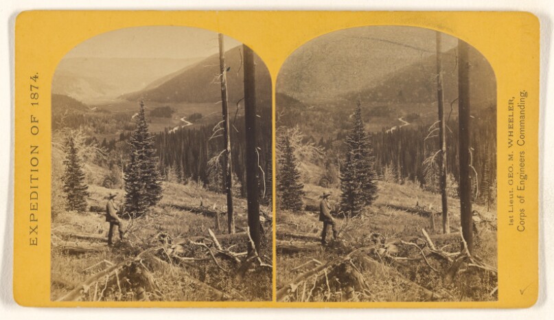
Canon, Valley of the Conejos River, looking south from vicinity of "Lost Lakes."
Getty Museum
#05ff74fa-9a24-4f93-aeb5-303cdc10fcb3
![Side Canon. This canon is 140 1/2 miles in length and from 300 to 3,000 feet deep. [Colorado River. Glen Canon]](/api/proxy-image?url=https%3A%2F%2Fmedia.getty.edu%2Fiiif%2Fimage%2F9e80a143-323e-476b-9ee0-c194a3834573%2Ffull%2F808%2C%2F0%2Fdefault.jpg)
Side Canon. This canon is 140 1/2 miles in length and from 300 to 3,000 feet deep. [Colorado River. Glen Canon]
Getty Museum
#d09afced-fdf9-4c74-a3ed-7182196de2f5