Getty Museum
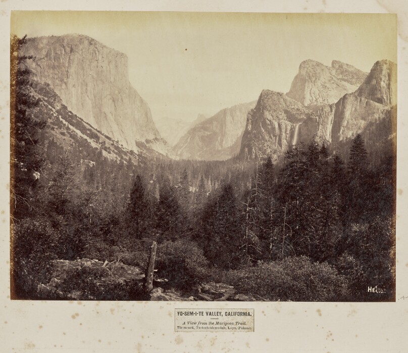
Yo-Sem-i-te Valley, California. A View from the Mariposa Trail. Tis-sa-ack, Tu-toch-ah-nu-lah, Loya, Pohono
Creator
Eadweard J. MuybridgeAmerican Photographer · 1830–1904
All works by this person →In his early twenties, Eadweard Muybridge moved to the United States, where he was drawn to the primarily uncharted Western landscape. After a stagecoach accident, he convalesced back home in England and learned photography. Upon returning to the States in 1867, he soon earned his reputation photographing the landscape. Apparently a hot-tempered man, Muybridge shot and killed his much younger wife
More on Getty ULAN- Date
- negative 1867 or 1872; print later
- Medium
- Albumen silver print
- Culture
- American
- Department
- Photographs
- Institution
- Getty Museum
- Object ID
- ac7b6603-2849-4cbb-a34f-211e1a6153f4
From the Getty Museum record
View of a scenery in Yosemite National Park. El Capitan, also known as "To-tock-ah-noo-lah" in the native Ahwahnechee language, is visible on the upper left area of the image, while Cathedral Rocks and Bridalveil Fall or "Pohono" can be seen on the right area of the image. Half Dome and Sentinel Rock, or "Tis-sa-ack" and "Loya" respectively, are visible in the background. A densely forested area can be seen in the foreground.
The authoritative record is held by Getty Museum. LinkedCulture surfaces this object and its connections; it does not alter institutional metadata.
Get printable QR codesHide QR codes
Open QR codes for this object page and the museum record. They stay collapsed until needed.
Related across collections
Semantically similar works from Getty Museum and other institutions.
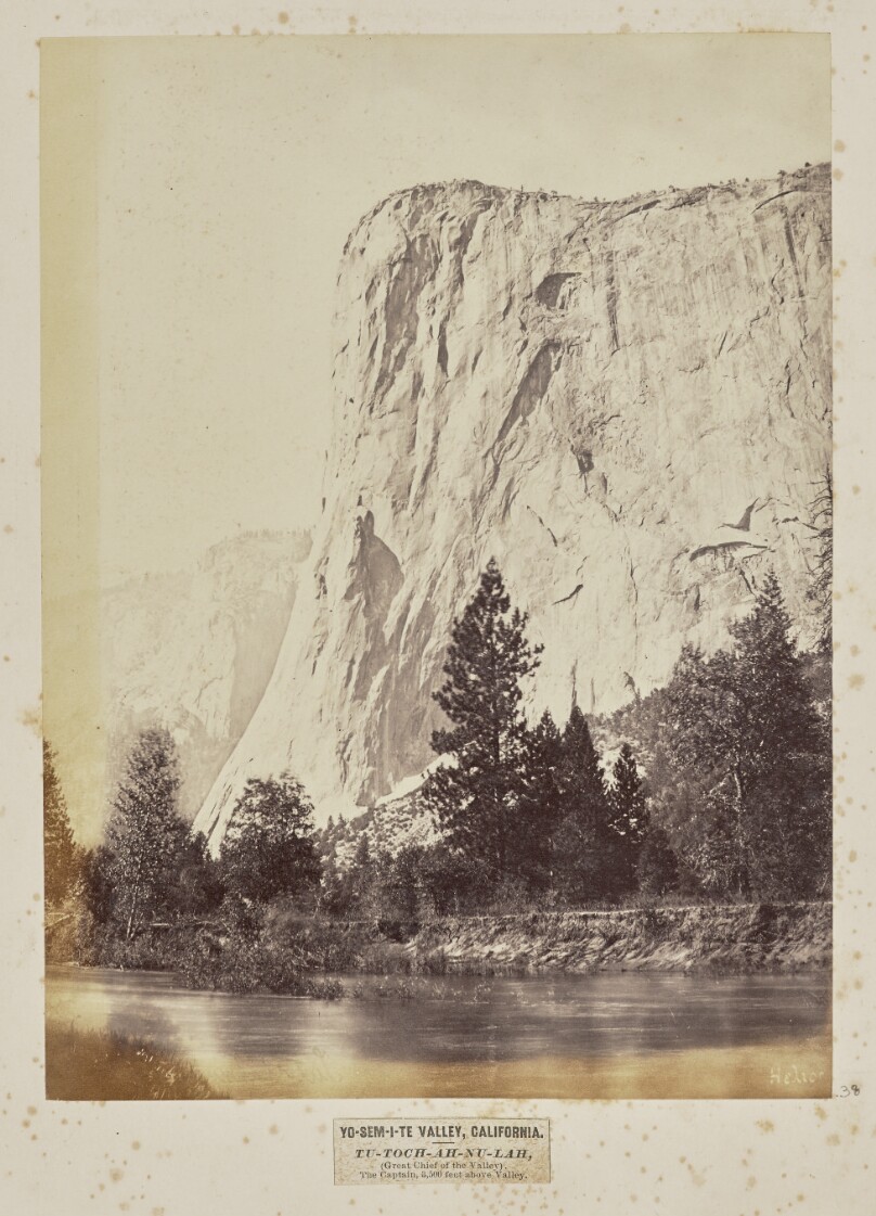
Yo-Sem-i-te Valley, California. Tu-toch-ah-nu-lah, (Great Chief of the Valley). The Captain, 3,500 Feet above Valley
Getty Museum
#f1be5d4e-ee8a-49c5-a089-c87215096343
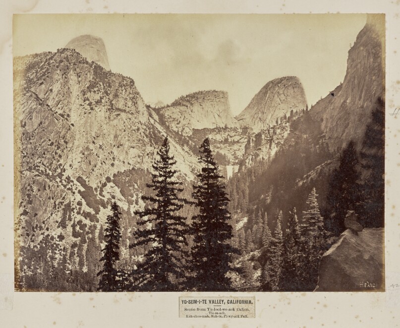
Yo-Sem-i-te Valley, California. Scene from Tu-lool-we-ack Cañon. Tis-sa-ack, Kah-choo-mah, Mah-ta, Pi-wy-ack Fall
Getty Museum
#67bfb007-394b-4960-bc8b-7706858abc8a
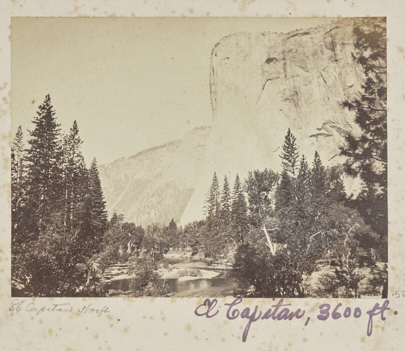
Tutocanula - El Capitan - 3600 feet, Yosemite Valley, Mariposa County, CAL. (No. 1010)
Getty Museum
#25680430-161d-4afc-a432-66956d846d80
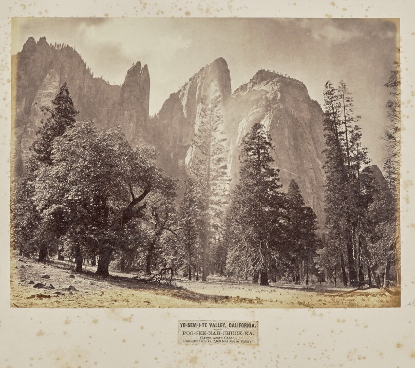
Yo-Sem-i-te Valley, California. Poo-see-nah-chuck-ka, (Large Acorn Cache). Cathedral Rocks, 2,600 Feet above Valley
Getty Museum
#ce3c75df-ad8f-4dd5-88d6-75653a1b6406
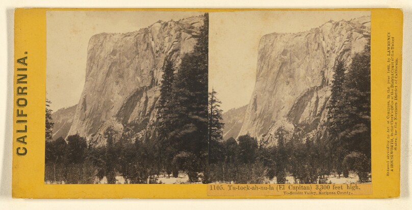
Tu-tock-ah-nu-la (El Capitan) 3,300 feet high, Yo-semite Valley, Mariposa County.
Getty Museum
#52251f79-5baf-4917-b4cc-9f7e8d0ea0c1
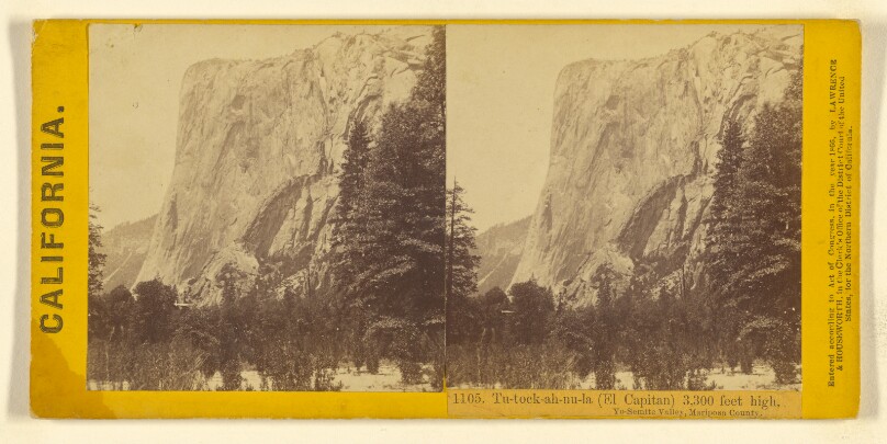
Tu-tock-ah-nu-la (El Capitan) 3,300 feet high, Yo-Semite Valley, Mariposa County.
Getty Museum
#e31a3d02-3c0c-4710-a81b-6dbb0a4d23a1
![The Yosemite Valley from Inspiration Pt. Mariposa Trail / [General View of the Valley - from Inspiration Point]](/api/proxy-image?url=https%3A%2F%2Fmedia.getty.edu%2Fiiif%2Fimage%2F61165980-0fcc-472b-8034-aa53cbc4fa08%2Ffull%2F808%2C%2F0%2Fdefault.jpg)
The Yosemite Valley from Inspiration Pt. Mariposa Trail / [General View of the Valley - from Inspiration Point]
Getty Museum
#043159ee-2251-4291-9112-047dd9756c04
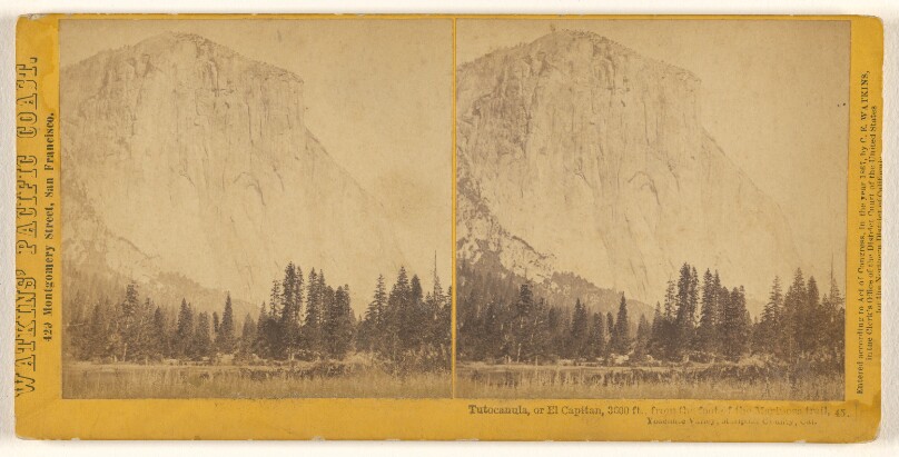
Tutocanula, or El Capitan, 3600 feet, from the foot of the Mariposa Trail, Yosemite Valley, Mariposa County, Cal.
Getty Museum
#cc52f6a9-bf4b-43ef-b840-568697d7d62b
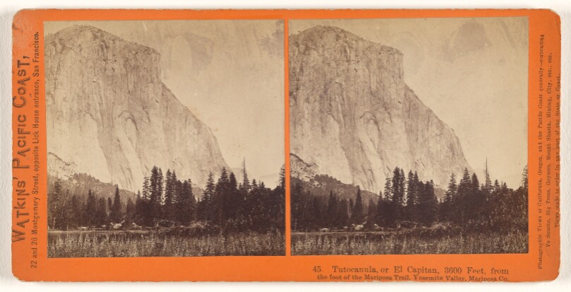
Tutocanula, or El Capitan, 3600 feet, from the foot of the Mariposa Trail, Yosemite Valley, Mariposa Co.
Getty Museum
#1476b71a-5460-4733-afe5-990f25f75094
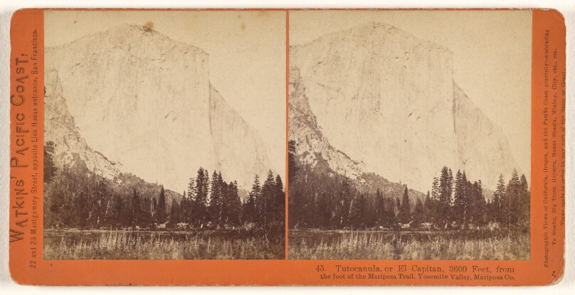
Tutocanula, or El Capitan, 3600 feet, from the foot of the Mariposa Trail, Yosemite Valley, Mariposa Co.
Getty Museum
#bcd77cb4-0b20-475b-93df-d1bdbd4661dc
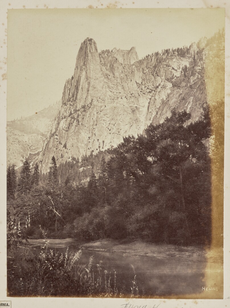
Yo-Sem-i-te Valley, California. Loya, (Sentinel Rock). 3,270 Feet above Valley
Getty Museum
#189afbf8-704b-4947-a650-e6709b8c2c1f
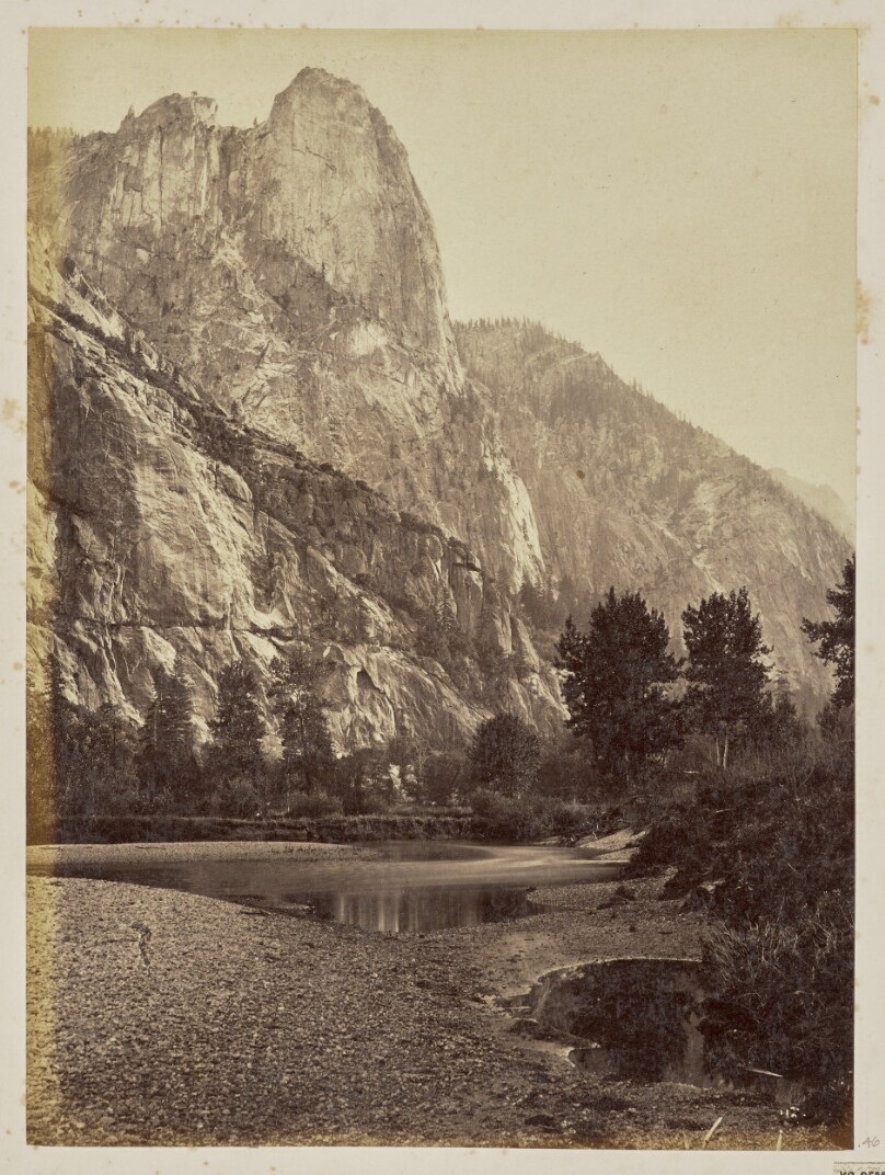
Yo-Sem-i-te Valley, California. Loya, (Sentinel Rock). 3,270 Feet above Valley
Getty Museum
#36cbe0bd-e488-490f-8772-beaa70e1dc68