Art Institute of Chicago
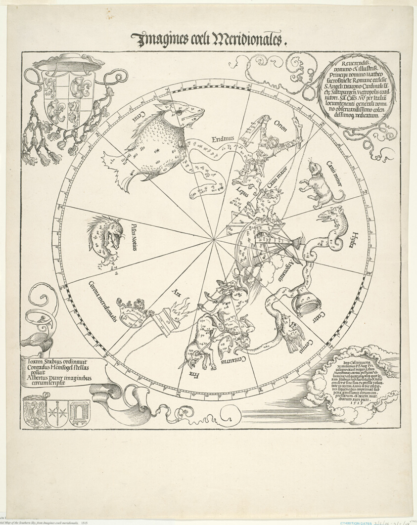
Celestial Map of the Southern Sky (Imagines coeli meridionales)
Albrecht DürerLinkedCulture matchlcp-6cf5b58b91f0
- Date
- 1515
- Medium
- Woodcut in black on ivory laid paper
- Culture
- Germany
- Department
- Prints and Drawings
- Institution
- Art Institute of Chicago
- Object ID
- 106549
From the Art Institute of Chicago record
Maps of the heavens and earth were one of the first printed instruments to be turned into three-dimensional objects—as globes. These began with functional two-dimensional diagrams that were cut out in elongated globe-gore strips and pasted onto spheres. While Dürer’s maps of the northern and southern skies were not meant to be mounted in this way, they were copied hundreds of times for this purpose. Produced as a presentation gift along with a view of the terrestrial globe for a humanist advisor to Emperor Maximilian, the dual view depicts the heavens as if the viewer were observing them from space.
The authoritative record is held by Art Institute of Chicago. LinkedCulture surfaces this object and its connections; it does not alter institutional metadata.
Get printable QR codesHide QR codes
Open QR codes for this object page and the museum record. They stay collapsed until needed.
Provenance & credit
As published by the source institution. Coverage varies — not every institution's open-data feed includes ownership history.
- Credit line
- Clarence Buckingham Collection
Linked open data
Authority identifiers that link this record into the wider web of cultural data — stable references you can follow to the source.
- Object type
- AAT300041273
Related across collections
Semantically similar works from Art Institute of Chicago and other institutions.