
Minneapolis Institute of Art
Maps of Eleven Prefectural Cities in Zhejiang Province
China
- Date
- early 19th century
- Medium
- Ink and color on silk
- Department
- Asian Art
- Institution
- Minneapolis Institute of Art
Map making has a long history in China. There are two parallel traditions of Chinese cartography: one mathematical, the other descriptive. The mathematical form is concerned with measurement and is therefore considered a science; the descriptive form is focused on depiction with less concern for accuracy. The maps in this set, of 11 prefectural cities in Zhejiang province, are examples of descriptive cartography. In representing hills, rivers, and buildings, the mapmakers rendered the topography in a manner suggestive of landscape painting. But, unlike in that art form, here these elements are labeled. Asia
The authoritative record is held by Minneapolis Institute of Art. LinkedCulture surfaces this object and its connections; it does not alter institutional metadata.
Related across collections
Semantically similar works from Minneapolis Institute of Art and other institutions.
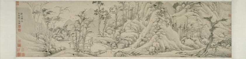
Autumn Mountains 秋山圖
Art Institute of Chicago

Landscape after Gao Kegong
Minneapolis Institute of Art

Misty River and Layered Peaks
Minneapolis Institute of Art
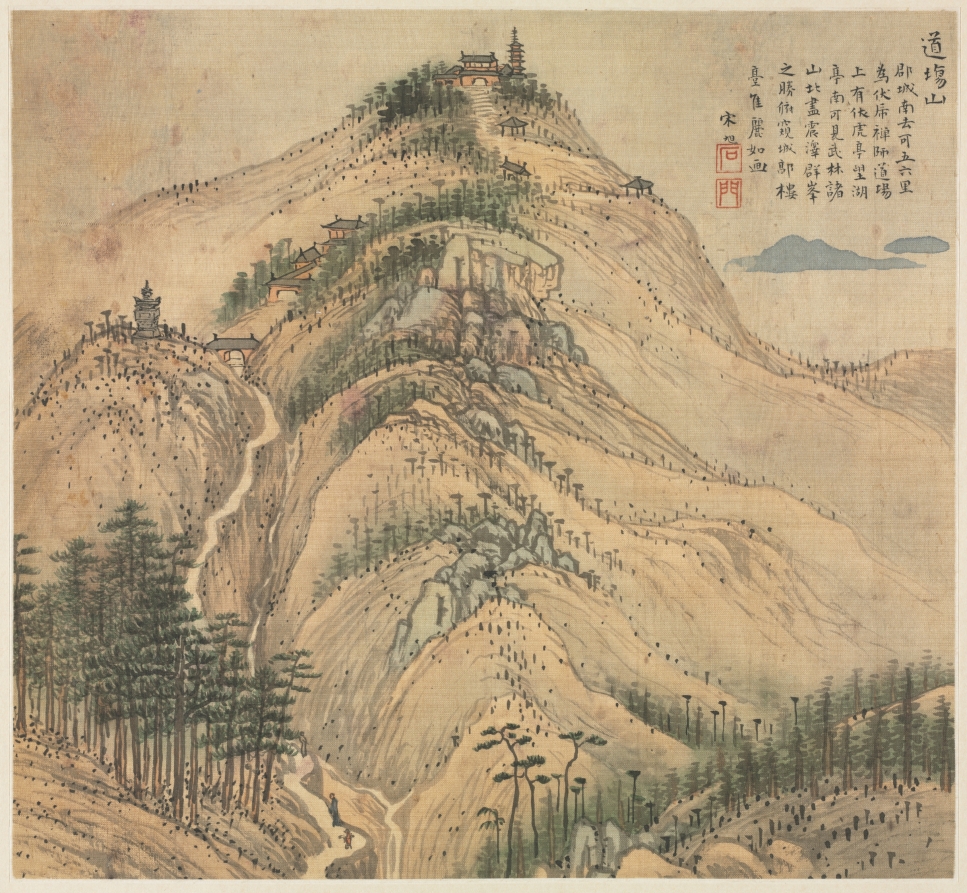
Mt. Daochang
Cleveland Museum of Art

Inhabitants of Fourteen Foreign Lands
Minneapolis Institute of Art
![Views of the Xiao and Xiang Rivers [left of a pair]](https://2.api.artsmia.org/800/19784.jpg)
Views of the Xiao and Xiang Rivers [left of a pair]
Minneapolis Institute of Art
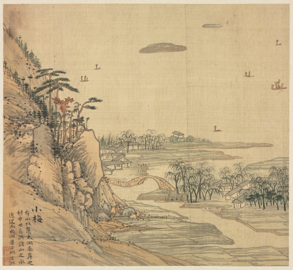
Xiaomei
Cleveland Museum of Art

Mingling of Clear and Muddy Water at the Junction of the Jing and Wei Rivers
Cleveland Museum of Art

Meeting Along the River
Minneapolis Institute of Art
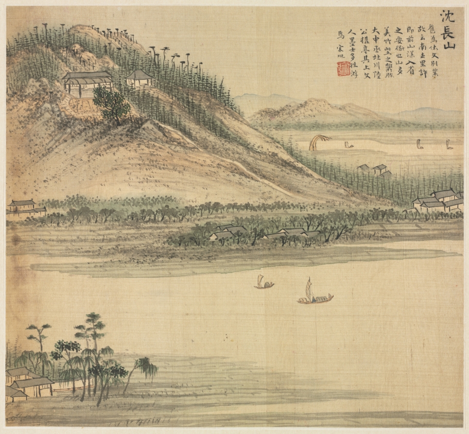
Mt. Shenchang
Cleveland Museum of Art

Dream Journey among Rivers and Mountains, no. 90
Cleveland Museum of Art
![South Mountain in China [right of a pair]](https://4.api.artsmia.org/800/118388.jpg)
South Mountain in China [right of a pair]
Minneapolis Institute of Art