
Minneapolis Institute of Art
View of Amsterdam
Balthasar Floriszoon van Berckenrode
- Date
- 1625 (probably printed later)
- Medium
- Woodcut with letterpress
- Department
- European Art
- Institution
- Minneapolis Institute of Art
Balthasar Florisz van Berckenrode’s map of Amsterdam first appeared in 1625. As the first map to fully recognize the expansion of the city beyond its old fortifications, it superseded all earlier views. It is incredibly detailed and marks the last attempt of any cartographer to publish a single map showing every house in Amsterdam. Netherlands, Europe
The authoritative record is held by Minneapolis Institute of Art. LinkedCulture surfaces this object and its connections; it does not alter institutional metadata.
Related across collections
Semantically similar works from Minneapolis Institute of Art and other institutions.

View of Amsterdam
Minneapolis Institute of Art

View of Amsterdam
Minneapolis Institute of Art
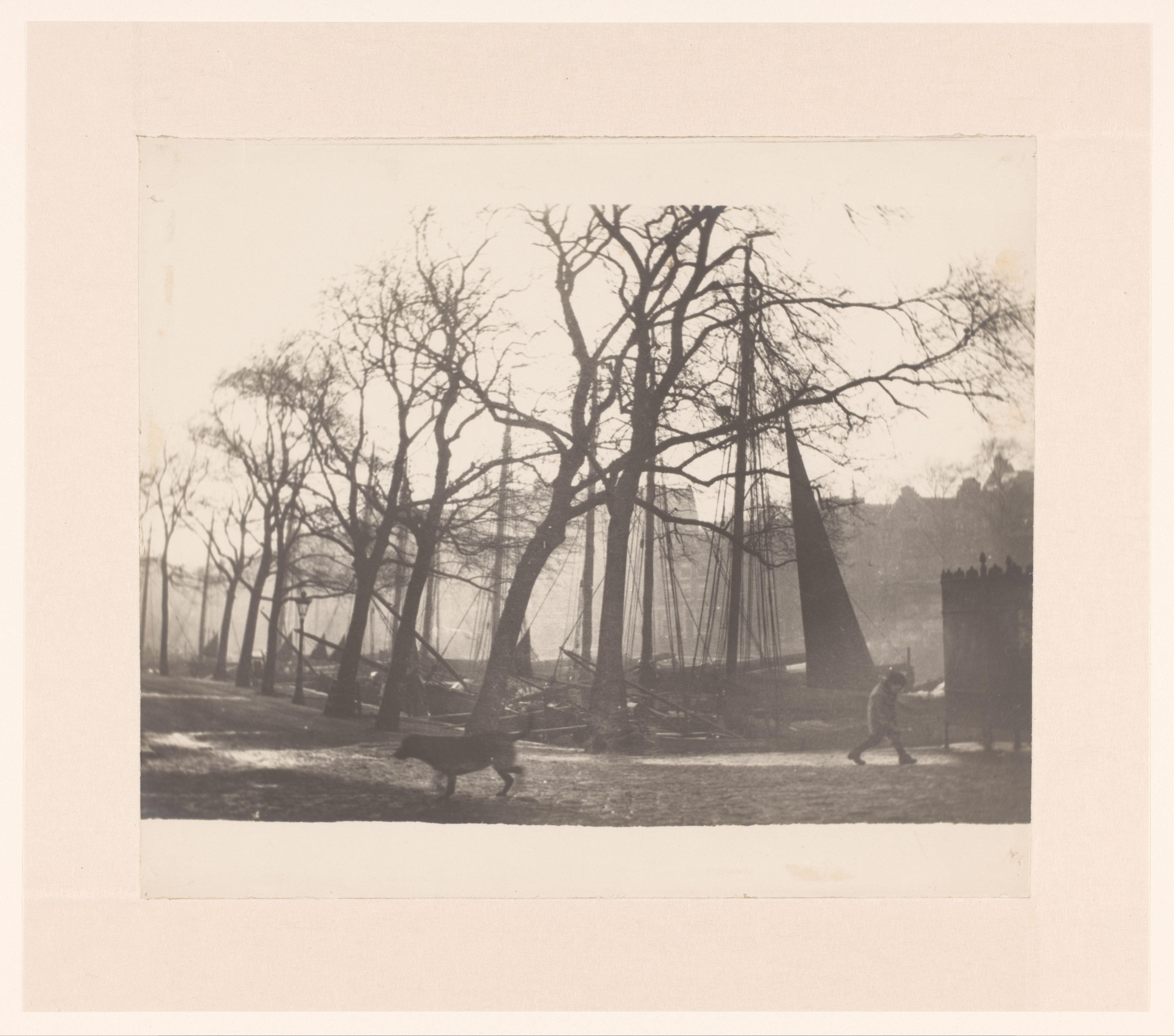
Gezicht op Waalseilandsgracht gezien vanaf de Prins Hendrikkade in Amsterdam
Rijksmuseum

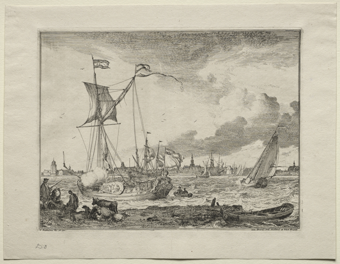
Album of landscape etchings
Minneapolis Institute of Art

New Map of the World, from Hendrik Hondius and Jan Jansson's Atlas Novus, Amsterdam
Minneapolis Institute of Art
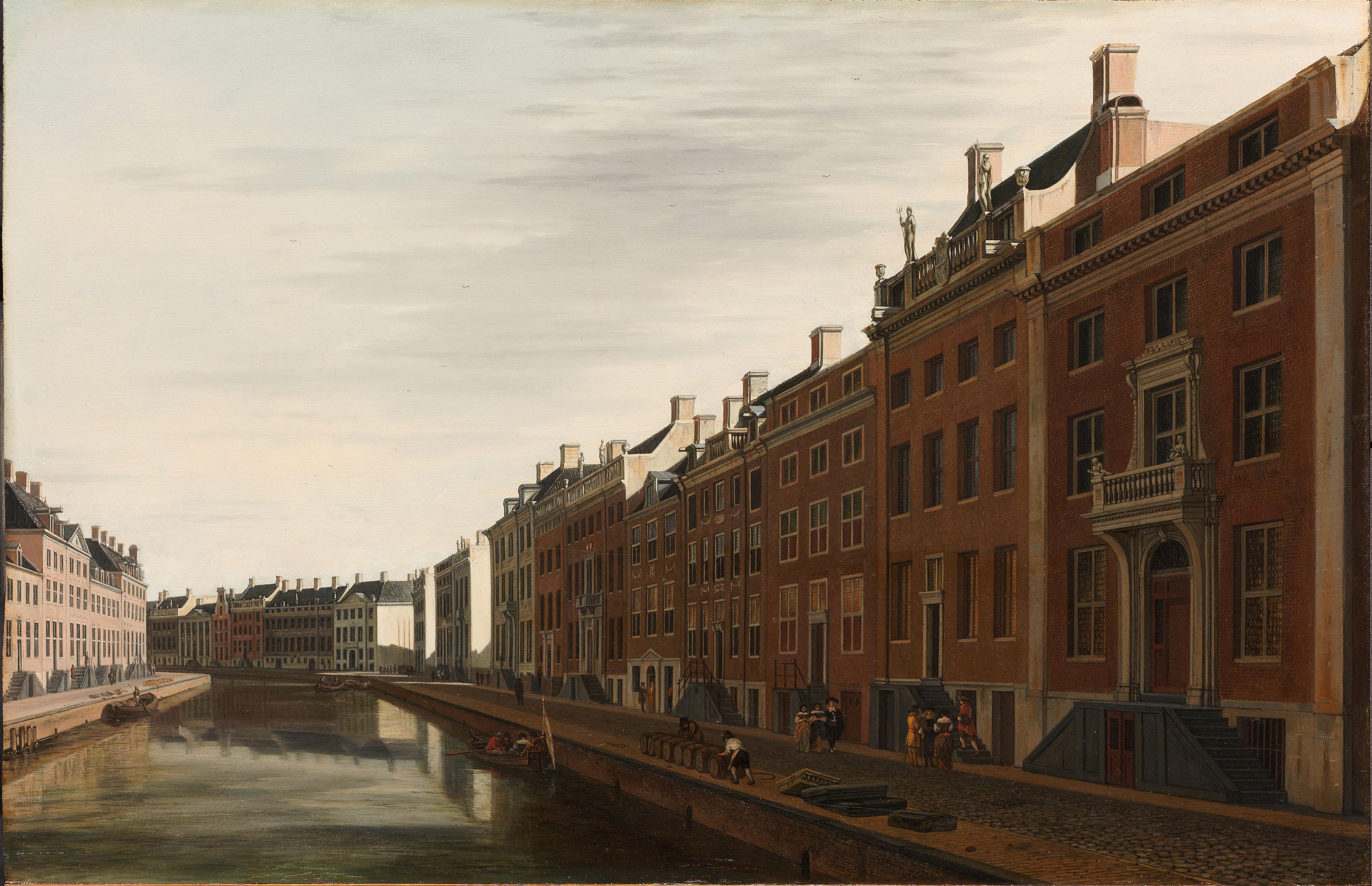
De Gouden Bocht in de Herengracht in Amsterdam vanuit het westen
Rijksmuseum
View of Amsterdam with Ships in Foreground
Cleveland Museum of Art
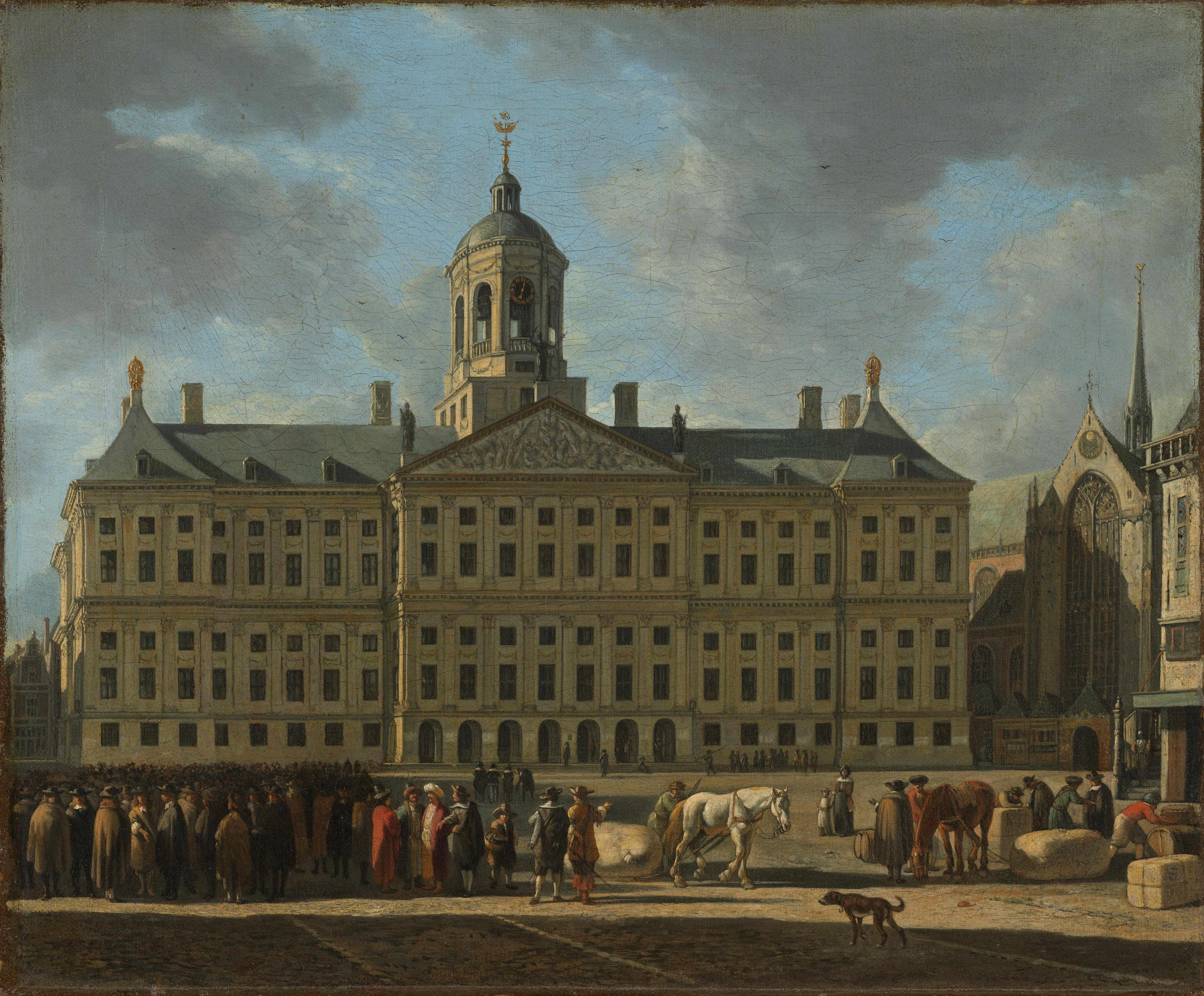
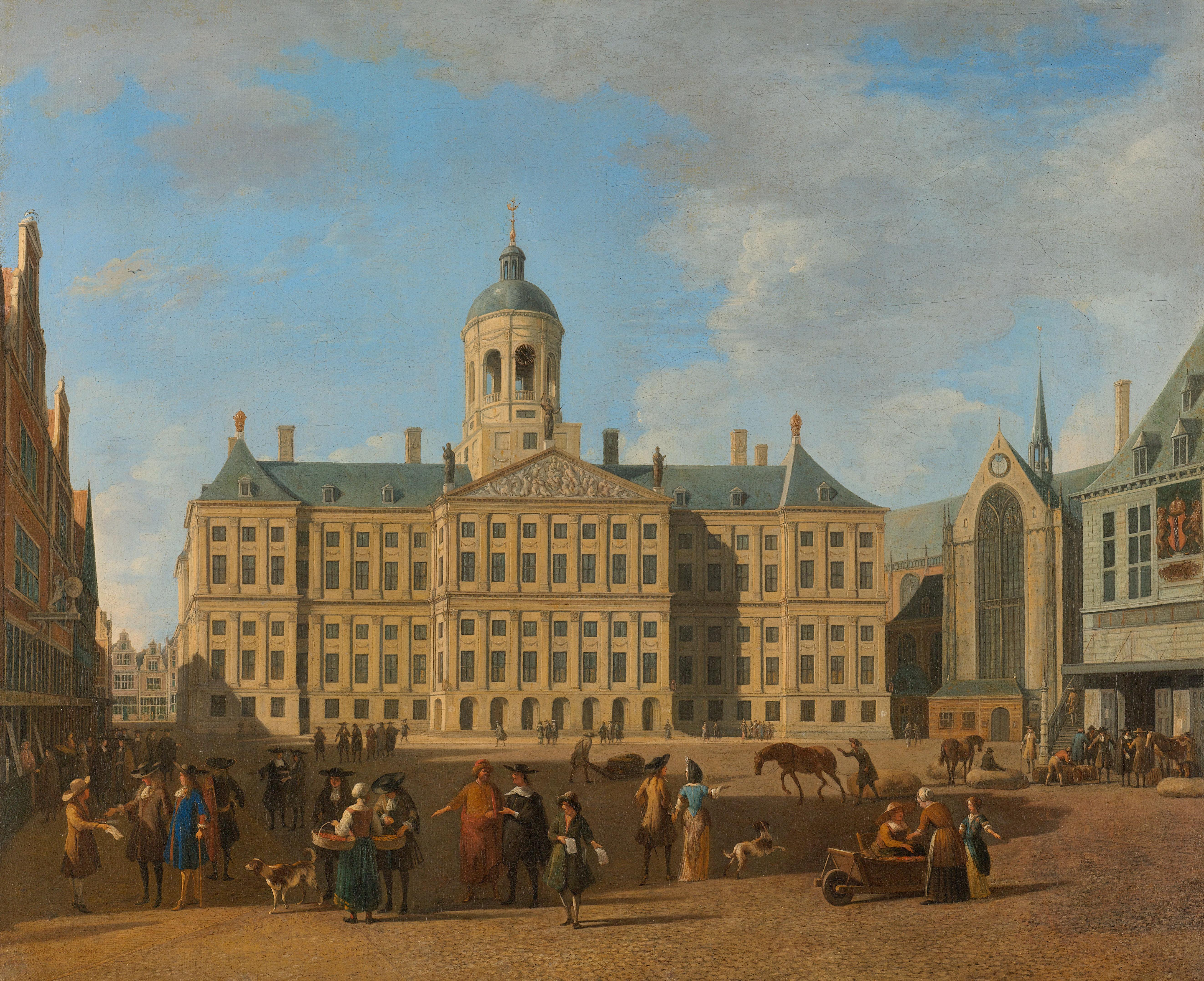
Het stadhuis op de Dam in Amsterdam
Rijksmuseum
Het stadhuis op de Dam in Amsterdam
Rijksmuseum
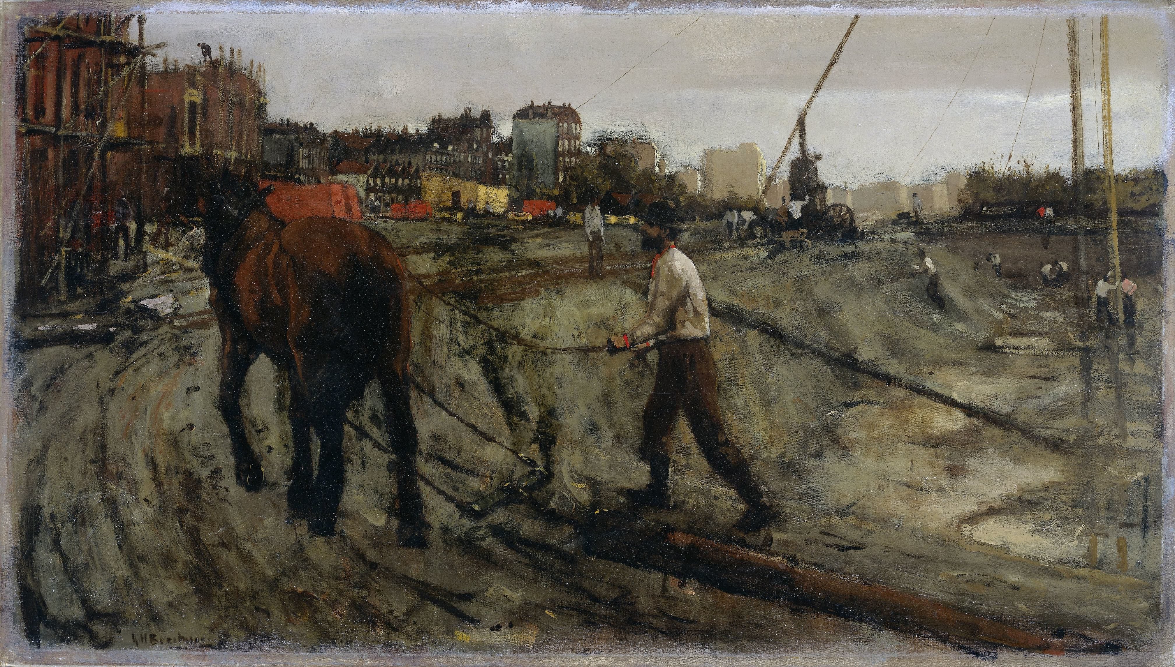
Bouwterrein in Amsterdam
Rijksmuseum
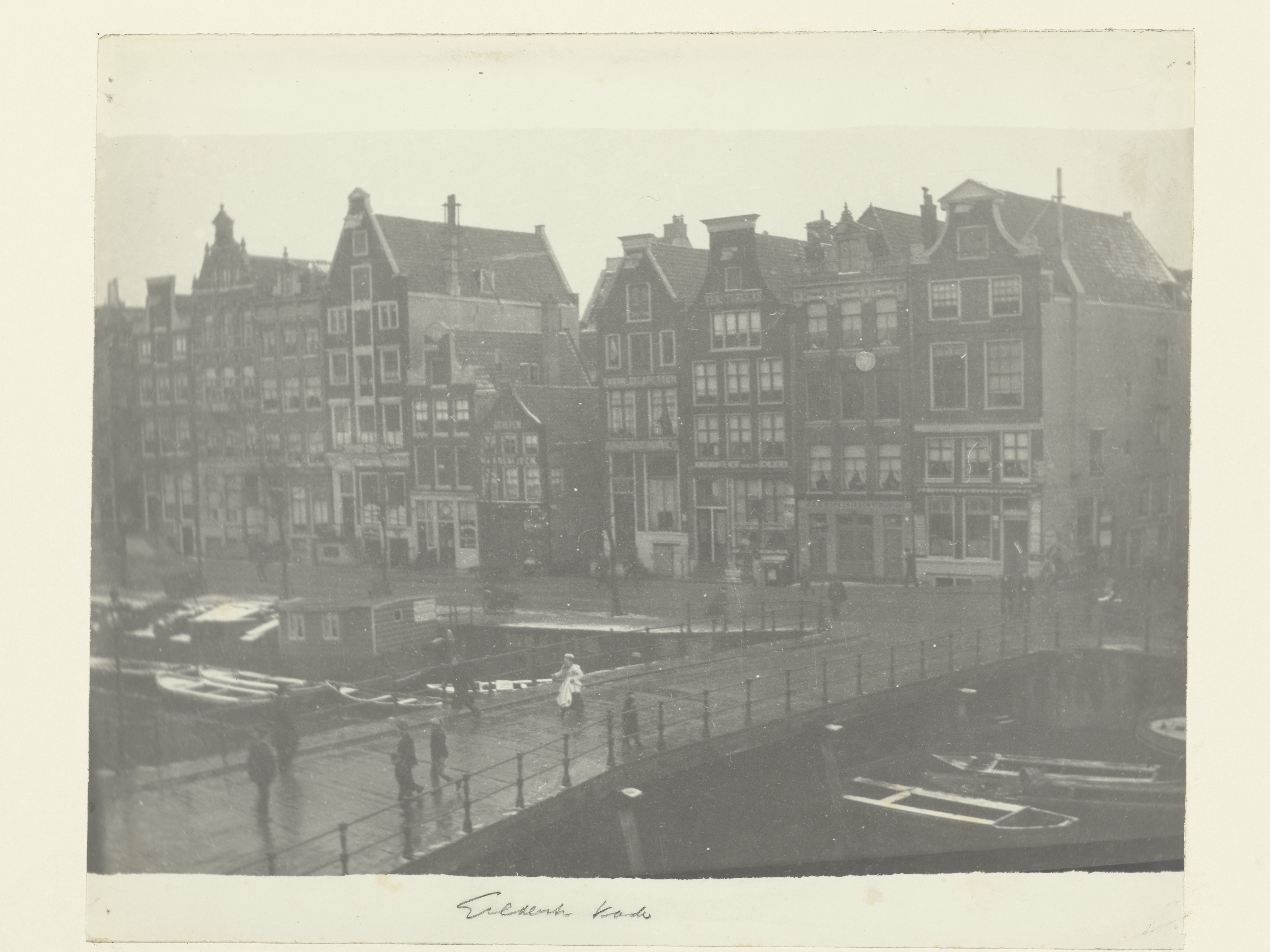
View of Geldersekade in Amsterdam
Rijksmuseum
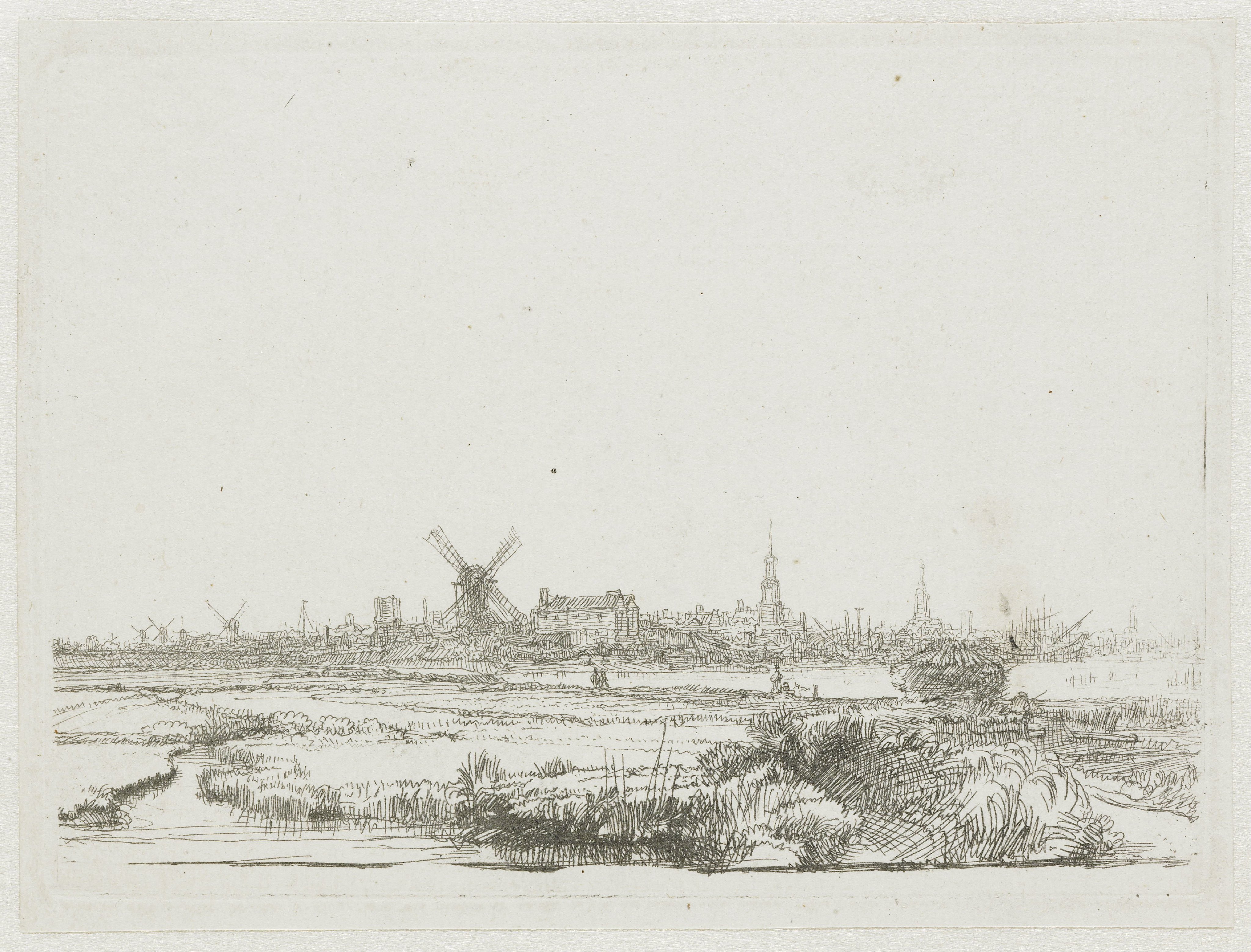
View of Amsterdam from the Kadijk
Rijksmuseum