Minneapolis Institute of Art
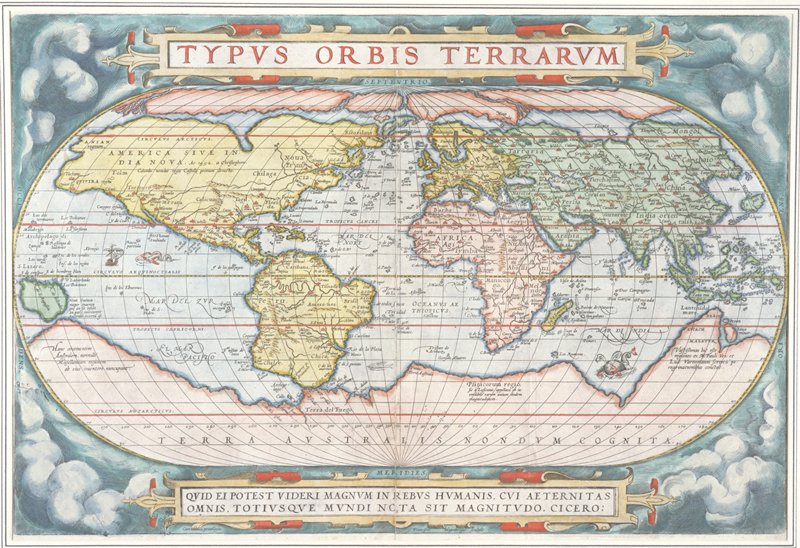
Map of the World, from Theatrum Orbis Terrarum (Theater of the Whole World), Antwerp
Abraham Ortelius; Engraver: Frans Hogenberg; Publisher: Plantin
- Date
- 1570
- Medium
- Hand-colored engraving
- Department
- European Art
- Institution
- Minneapolis Institute of Art
Matteo Ricci brought a copy of this map with him to China, reportedly displaying it on the mission house wall. It so intrigued his Chinese visitors that they asked him to make one in Chinese. At the time, Ricci said, Their universe was limited to their own fifteen provinces, and in the sea painted around it they had placed a few little islands to which they gave the names of the different kingdoms they had heard of. For his own map, Ricci adopted Ortelius's oval projection of the earth and colossal southern continent. Yet he diverged from Ortelius in significant ways that show his familiarity with other European atlases. The St. Lawrence River in North America takes the form of a long narrow gulf, as in Gerard Mercator's map of 1569. The prototype for his description of the country of dwarves in northern Russia (see the wall panel with selected texts from the map) seems to have been the 1592 atlas of Petrus Plancius. Flanders
The authoritative record is held by Minneapolis Institute of Art. LinkedCulture surfaces this object and its connections; it does not alter institutional metadata.
Related across collections
Semantically similar works from Minneapolis Institute of Art and other institutions.

Landscape after Wang Meng's Noble Reclusion Among Pines and Streams
Minneapolis Institute of Art
Creation of the World: Day Two
Harvard Art Museums
Scene from Ovid's Metamorphosis
Harvard Art Museums
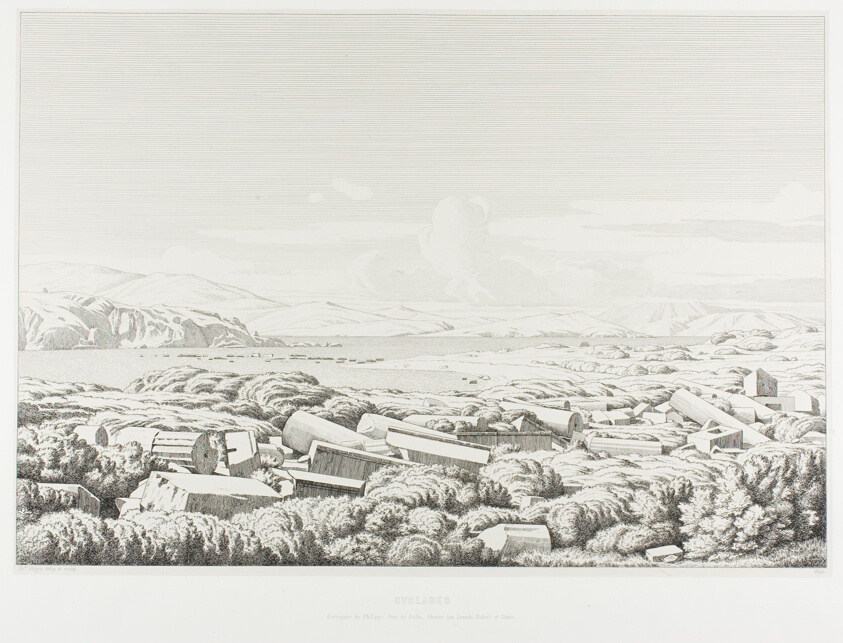
Cyclades: the Porticos of Philip, Port of Dhílos, Rinea (or Greater Dhílos) and Tínos
Art Institute of Chicago
Partial Hampton Beach Seascape; verso: Partial Manchester Landscape
Harvard Art Museums
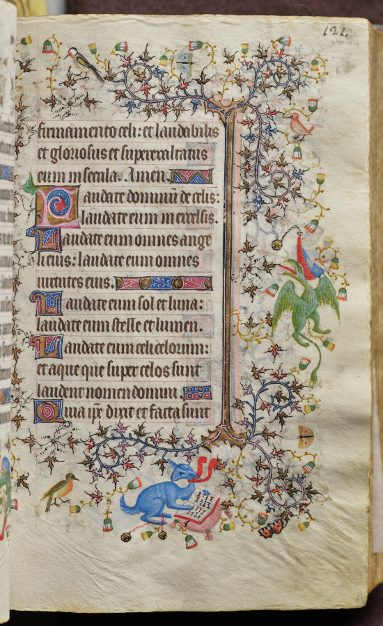
Hours of Charles the Noble, King of Navarre (1361-1425): fol. 61r, Text
Cleveland Museum of Art
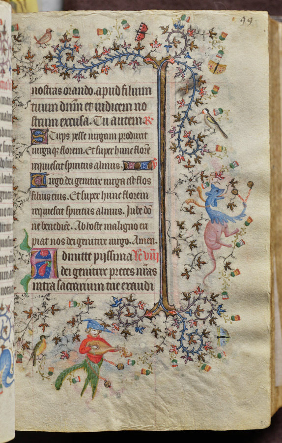
Hours of Charles the Noble, King of Navarre (1361-1425): fol. 50r, Text
Cleveland Museum of Art
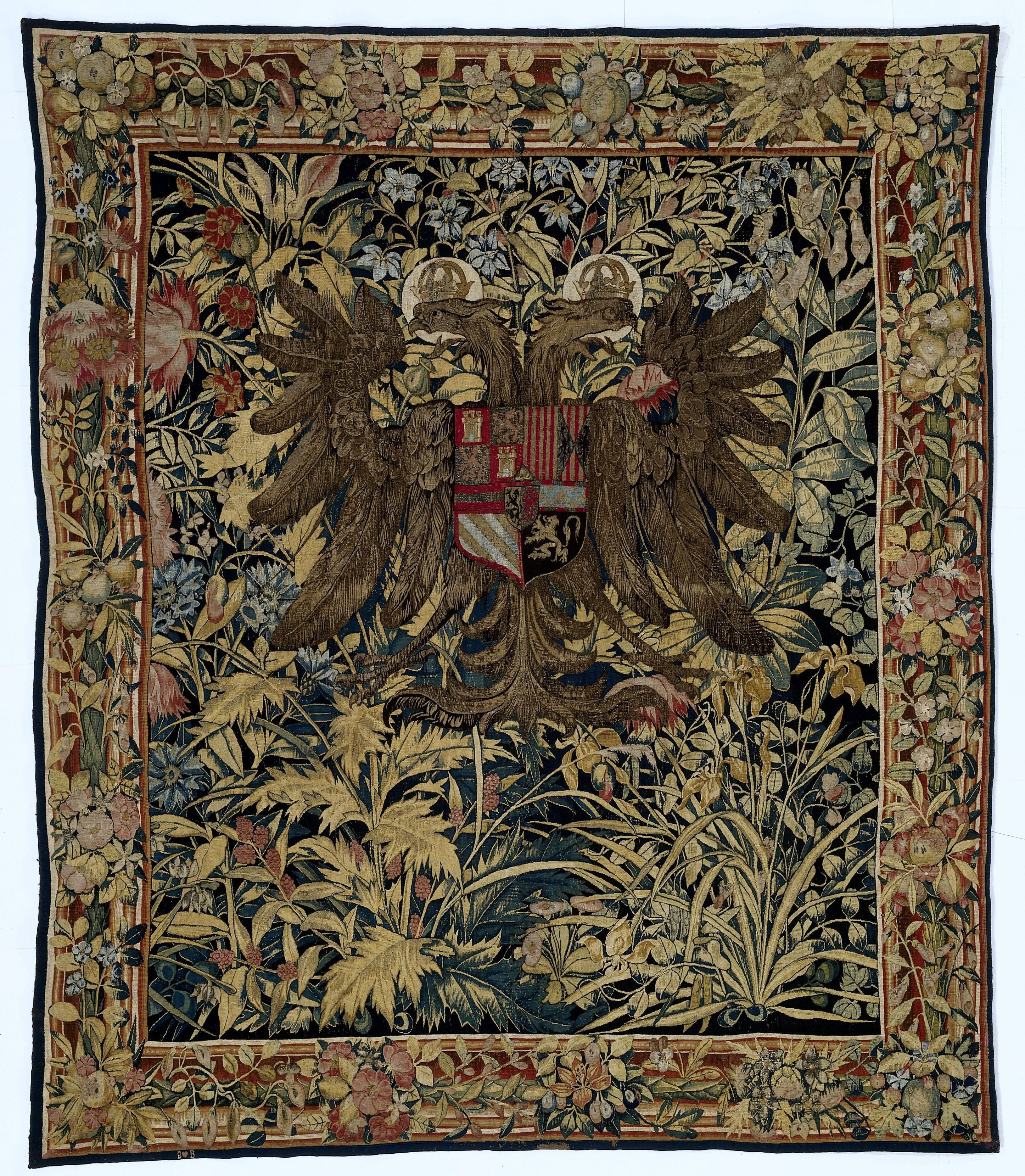
Tapestry with the arms of Emperor Charles V
Rijksmuseum
Text page from a Mirror of Holiness (Mir’at al-quds) of Father Jerome Xavier
Cleveland Museum of Art
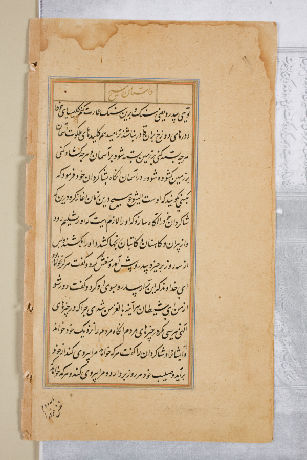
Text page from a Mirror of Holiness (Mir’at al-quds) of Father Jerome Xavier
Cleveland Museum of Art
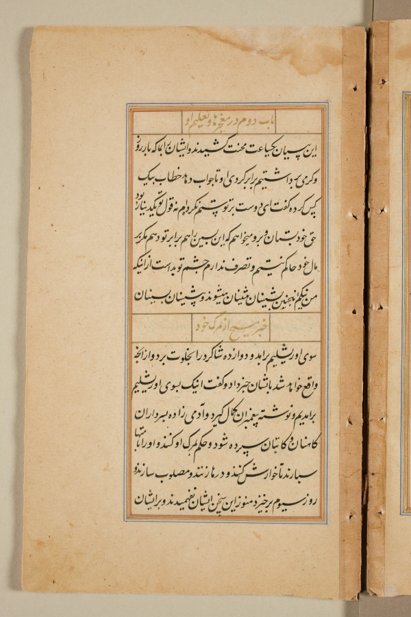
Text page from a Mirror of Holiness (Mir’at al-quds) of Father Jerome Xavier
Cleveland Museum of Art
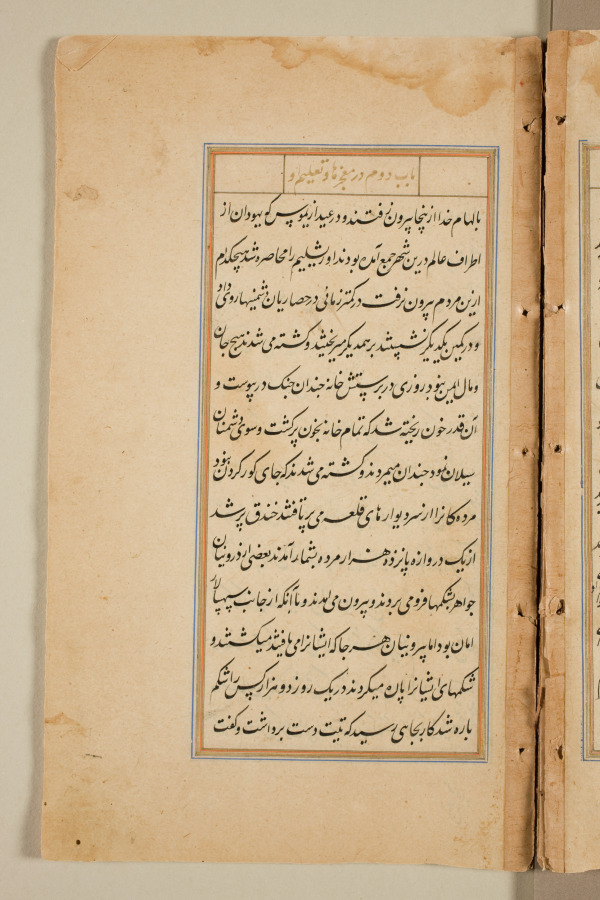
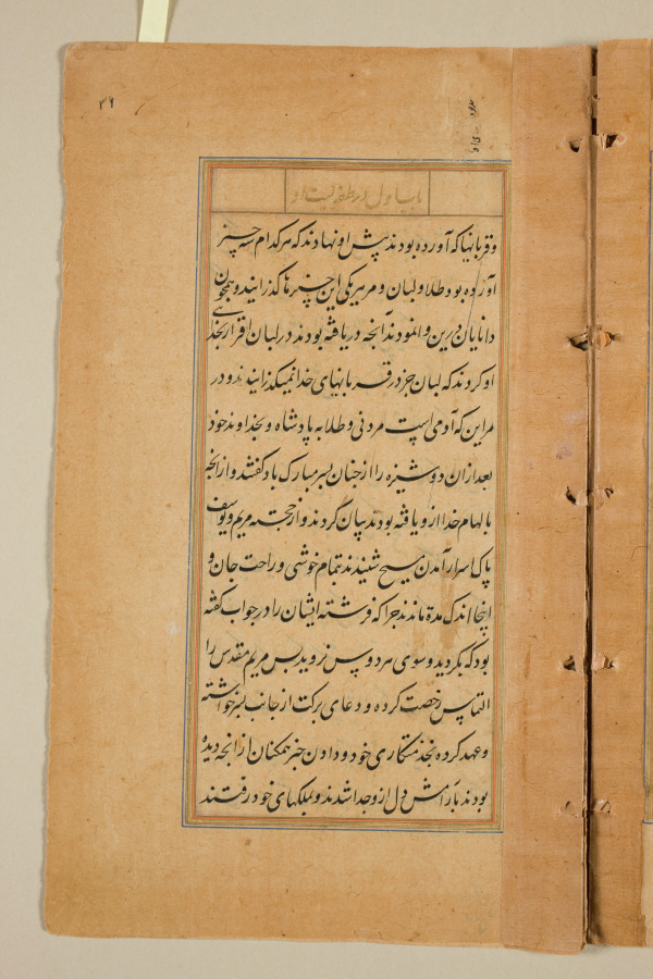
Text page from a Mirror of Holiness (Mir’at al-quds) of Father Jerome Xavier
Cleveland Museum of Art