Elias Olcott Beaman
American Photographer · 1870–
44 works on LinkedCulture
Works
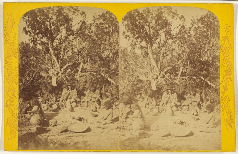
View as IIIF ↗"At Home." Kai-Vav-Its. A tribe of the Pai Utes, living on the Kai-bab Plateau, near the Grand Canon of the Colorado,...Arizona.
Getty Museum · about 1871–1872
#387a71bf-80fd-41ec-9ed6-e787c54a880a
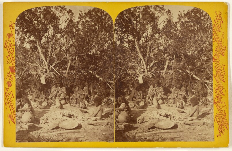
"At Home." Kai-Vav-Its. A tribe of the Pai Utes, living on the Kai-bab Plateau, near the Grand Canon of the Colorado...Arizona.
Getty Museum · about 1871–1872
#759f6469-348f-4e8c-aded-5ade5e42f937
![Blue Mts[.] of Vermont, Mount Severence. [Upper Hudson and Adirondack Mountains]](/api/proxy-image?url=https%3A%2F%2Fmedia.getty.edu%2Fiiif%2Fimage%2F159cbedb-9c0e-4da4-8bad-4a47e4f81280%2Ffull%2F808%2C%2F0%2Fdefault.jpg)
Blue Mts[.] of Vermont, Mount Severence. [Upper Hudson and Adirondack Mountains]
Getty Museum · about 1872–1873
#02f7b836-089a-46c8-9461-7e1e532b933c
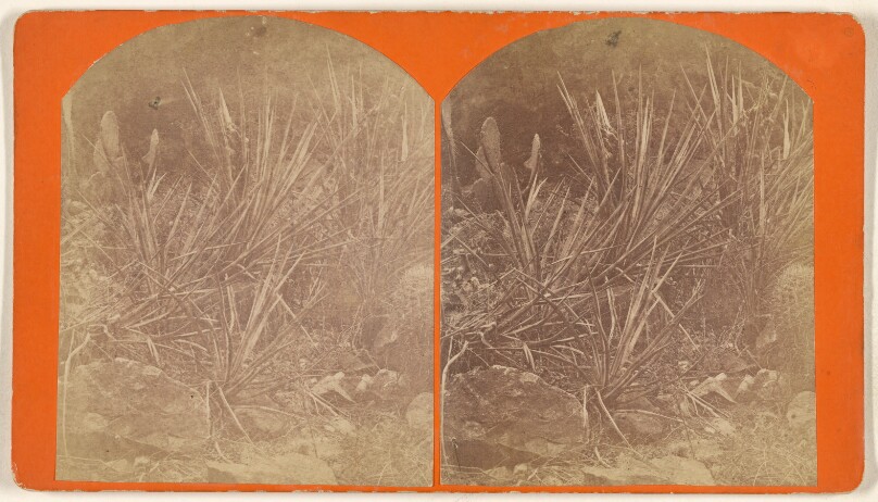
Cactus Group in Kanab Canon. Showing the Barrel Cactus, the Prickly Pear and Spanish Bayonet.
Getty Museum · about 1871–1872
#fcfb1440-434c-41e5-a2c1-55020f67dd87
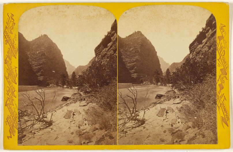
Canon of Lodore. Cliff of the Harp. Looking Down the River. Wall 2,300 feet.
Getty Museum · about 1871–1872
#8cb8f8f6-3741-4cce-a738-052a35439808
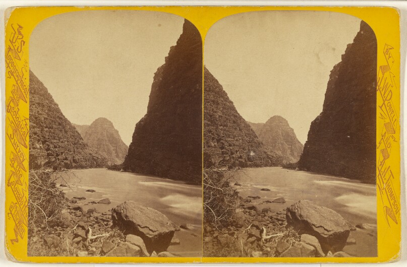
Canon of Lodore. Wheat Stack. Looking Up the River. Wall 2,000 feet.
Getty Museum · about 1871–1872
#be3b3da8-5b83-444e-9187-78f348c8a3d9
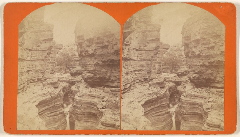
Chasm in the Rocks - Outlet of Surprise Valley. Hieroglyphics on the walls of the chasm showing it to have been...Aztec Indians
Getty Museum · about 1871–1872
#ed3eef2c-59de-4bea-9d2a-9acffa792de4
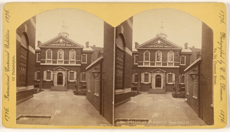
Cradle of American Independence.
Getty Museum · 1876
#913a158d-c203-4ea6-9cb0-f18c4429844a
![Dellenbaugh's Butte. This canon is 55 1/2 miles long and from 300 to 2,000 feet deep. [Green River. Labyrinth Canon .]](/api/proxy-image?url=https%3A%2F%2Fmedia.getty.edu%2Fiiif%2Fimage%2F0f675027-1573-4e60-8332-c2af4db60581%2Ffull%2F808%2C%2F0%2Fdefault.jpg)
Dellenbaugh's Butte. This canon is 55 1/2 miles long and from 300 to 2,000 feet deep. [Green River. Labyrinth Canon .]
Getty Museum · about 1871–1872
#c89c042d-444f-48d0-ad0a-9475f2821532
![Dellenbaugh's Butte. This canon is 55 1/2 miles long and from 300 to 2,000 feet deep. [Green River. Labyrinth Canon.]](/api/proxy-image?url=https%3A%2F%2Fmedia.getty.edu%2Fiiif%2Fimage%2Fd800f6df-4e2c-4e06-9424-02a4b101513e%2Ffull%2F808%2C%2F0%2Fdefault.jpg)
Dellenbaugh's Butte. This canon is 55 1/2 miles long and from 300 to 2,000 feet deep. [Green River. Labyrinth Canon.]
Getty Museum · about 1871–1872
#74b43e62-91cc-42ae-9bf4-7de1048aac0f
![Dellenbaugh's Butte. This canon is 55 1/2 miles long and from 300 to 2,000 feet deep. [Green River. Labyrinth Canon.]](/api/proxy-image?url=https%3A%2F%2Fmedia.getty.edu%2Fiiif%2Fimage%2Fdd039eab-00ee-4475-b196-0a8bacfd1de8%2Ffull%2F808%2C%2F0%2Fdefault.jpg)
Dellenbaugh's Butte. This canon is 55 1/2 miles long and from 300 to 2,000 feet deep. [Green River. Labyrinth Canon.]
Getty Museum · about 1871–1872
#ae168607-51e6-4b1b-b602-6aeb0766a0c3
![Echo Rock. (A mile and a half long and a thousand feet high.) [Green River]](/api/proxy-image?url=https%3A%2F%2Fmedia.getty.edu%2Fiiif%2Fimage%2Fdaaaa443-6f90-4ee0-ba4f-07f31c5d38d2%2Ffull%2F808%2C%2F0%2Fdefault.jpg)
Echo Rock. (A mile and a half long and a thousand feet high.) [Green River]
Getty Museum · about 1871–1872
#00b81aa2-cb5d-4c3e-b499-dd3f0509086d
![Echo Rock. A mile and a half long and a thousand feet high. [Green River]](/api/proxy-image?url=https%3A%2F%2Fmedia.getty.edu%2Fiiif%2Fimage%2F599ea3e3-c789-4d31-98da-f35e99d39894%2Ffull%2F808%2C%2F0%2Fdefault.jpg)
Echo Rock. A mile and a half long and a thousand feet high. [Green River]
Getty Museum · about 1871–1872
#1a67a5b1-e6bd-4564-8e2f-6f666b32a717
![Echo Rock. A mile and a half long and a thousand feet high. [Green River]](/api/proxy-image?url=https%3A%2F%2Fmedia.getty.edu%2Fiiif%2Fimage%2F7eb7fc4e-9481-4df7-bebb-6460d0a8f999%2Ffull%2F808%2C%2F0%2Fdefault.jpg)
Echo Rock. A mile and a half long and a thousand feet high. [Green River]
Getty Museum · about 1871–1872
#93d79ee5-c7e8-4b76-a1f2-7a2db8262a30
![Echo Rock. A mile and a half long and a thousand feet high. [Green River]](/api/proxy-image?url=https%3A%2F%2Fmedia.getty.edu%2Fiiif%2Fimage%2F8d94b682-11aa-459b-95dd-a34dbab3c045%2Ffull%2F808%2C%2F0%2Fdefault.jpg)
Echo Rock. A mile and a half long and a thousand feet high. [Green River]
Getty Museum · about 1871–1872
#44d8c0f0-d4eb-49ae-b9a8-e21cd48ae59e
![Gray Canon. Cathedral Butte. [Green River]](/api/proxy-image?url=https%3A%2F%2Fmedia.getty.edu%2Fiiif%2Fimage%2F7c63b36f-1cd8-4054-a94b-24ba4e867b58%2Ffull%2F808%2C%2F0%2Fdefault.jpg)
Gray Canon. Cathedral Butte. [Green River]
Getty Museum · about 1871–1872
#a3f3b809-ea31-4fa0-82ee-63aba5e6add8
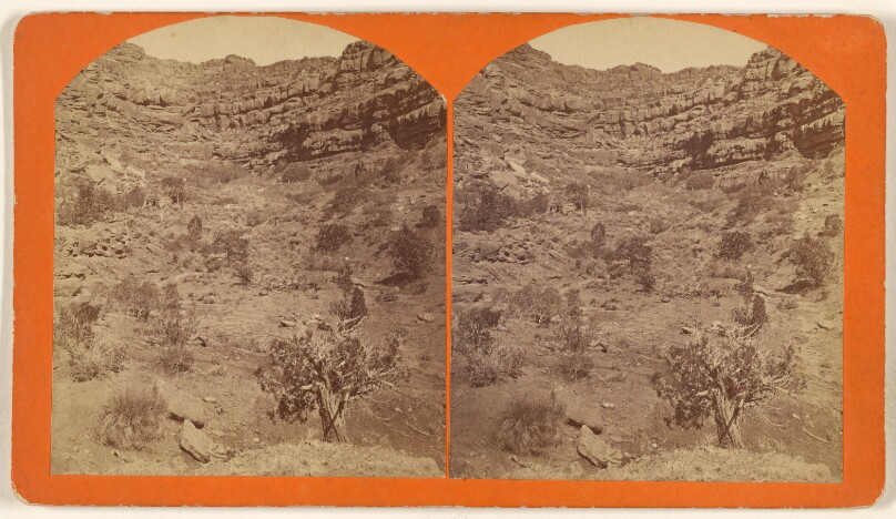
House Rock Springs in Arizona, East Side of Kibab Plateau.
Getty Museum · about 1871–1872
#58ef29b6-111e-4335-a973-3ae2fc4e4260
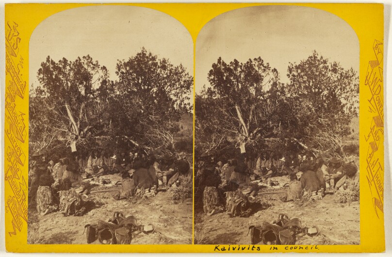
In Council. Kai-Vav-Its. A tribe of the Pai Utes, living on the Kai-bab Plateau, near the Grand Canon of the Colorado,...Arizona
Getty Museum · about 1871–1872
#56dae41c-5cb3-4f59-99d6-bda210252305
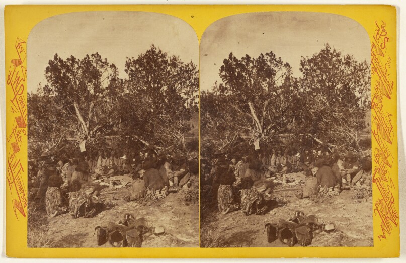
In Council. Kai-Vav-Its. A tribe of the Pai Utes, living on the Kai-bab Plateau, near the Grand Canon of the Colorado...Arizona.
Getty Museum · about 1871–1872
#43926dc3-8232-4902-a441-cba5de008e85
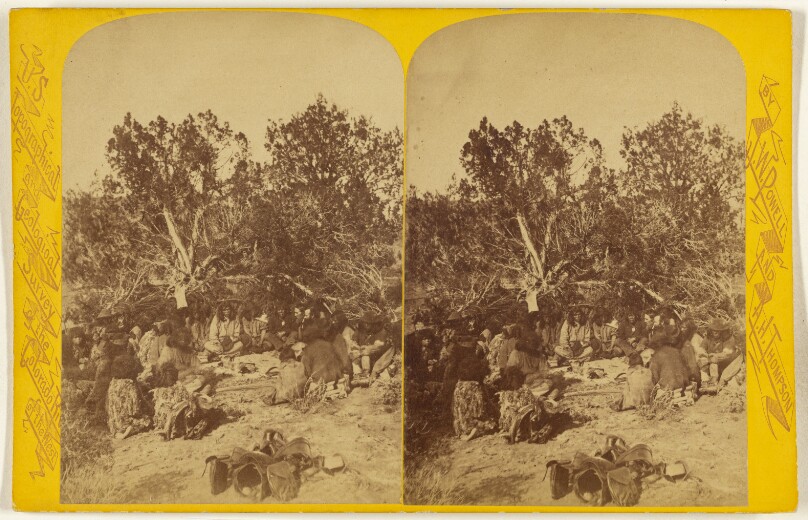
In Council. Kai-Vav-Its. A tribe of the Pai Utes, living on the Kai-bab Plateau, near the Grand Canon of the Colorado...Arizona.
Getty Museum · about 1871–1872
#54a4a26f-8ffe-4e79-a30b-26bfd1baaf86
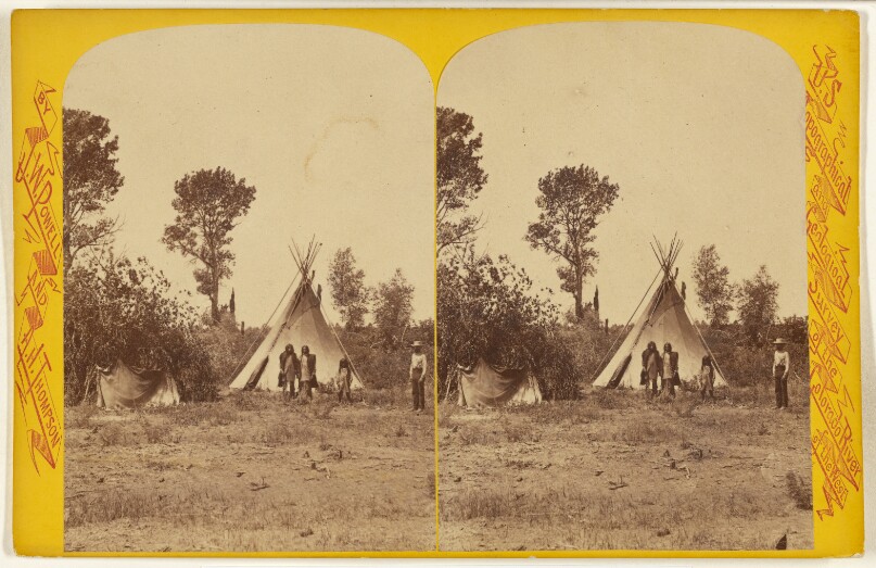
Indian Lodge. U-In-Ta Utes. Living in the U-in-ta Valley, on the Western Slope of the Wasatch Mountains, in Utah.
Getty Museum · about 1871–1872
#7ee6d386-b01a-4584-9648-149254242167
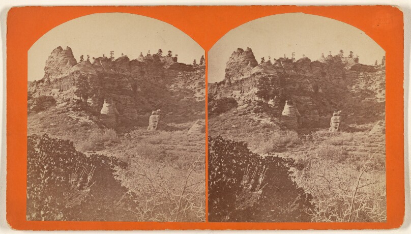
Johnson's Ranch - Southern Utah. Situated about 75 miles from the Colorado River and 15 miles from Kanab...
Getty Museum · about 1871–1872
#523eb9c9-d8b4-4853-ae64-91a16c463a4b
![Light-House Rock. This canon is 83 miles long and from 1,000 to 4,000 feet deep. [Green River. Canon of Desolation.]](/api/proxy-image?url=https%3A%2F%2Fmedia.getty.edu%2Fiiif%2Fimage%2F5aa525f6-03e0-4b04-af3f-21e2ec9659db%2Ffull%2F808%2C%2F0%2Fdefault.jpg)
Light-House Rock. This canon is 83 miles long and from 1,000 to 4,000 feet deep. [Green River. Canon of Desolation.]
Getty Museum · about 1871–1872
#7b491168-446e-4e97-8397-ca74530f9ab6
![Light-House Rock. This canon is 83 miles long and from 1,000 to 4,000 feet deep. [Green River. Canon of Desolation.]](/api/proxy-image?url=https%3A%2F%2Fmedia.getty.edu%2Fiiif%2Fimage%2F3949ff43-685c-44fa-8c23-36125fb14e10%2Ffull%2F808%2C%2F0%2Fdefault.jpg)
Light-House Rock. This canon is 83 miles long and from 1,000 to 4,000 feet deep. [Green River. Canon of Desolation.]
Getty Museum · about 1871–1872
#adae8f07-3e0c-4974-9885-fff4f45aec9a
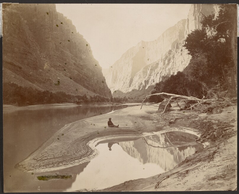
Lodore Canyon, Colorado River / The Heart of Lodore
Getty Museum · 1871
#371c0cf5-3538-4c41-ab38-73d66498c072
![Looking east from Summit of Marcy [Upper Hudson and Adirondack Mountains]](/api/proxy-image?url=https%3A%2F%2Fmedia.getty.edu%2Fiiif%2Fimage%2Ff835b30c-a5ab-4611-9728-aaefa7652f5a%2Ffull%2F808%2C%2F0%2Fdefault.jpg)
Looking east from Summit of Marcy [Upper Hudson and Adirondack Mountains]
Getty Museum · about 1872–1873
#caa9f8f9-4a89-47c0-97bc-6e5d4d2dd56a
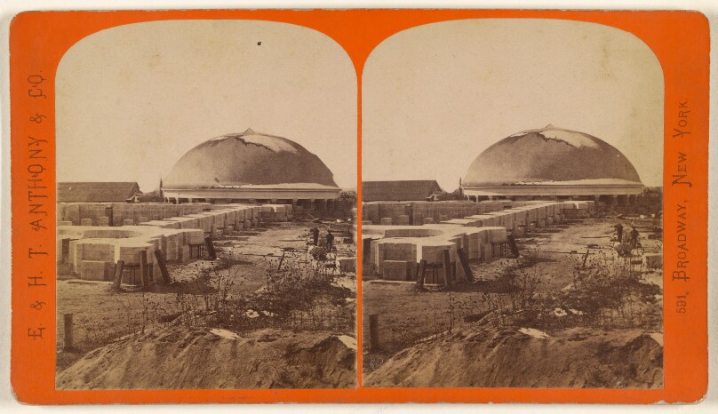
Mormon Tabernacle, Salt Lake City.
Getty Museum · about 1871–1872
#8f704e59-1b24-4ba7-b25e-8b2cd3e11d67
![Mouth of Bishop's Creek. This canon is 12 1/4 miles in length and 2,800 feet deep. [Green River. Whirlpool Canon.]](/api/proxy-image?url=https%3A%2F%2Fmedia.getty.edu%2Fiiif%2Fimage%2Fa8792613-7cf4-44bb-a0c7-13340c3a7ac5%2Ffull%2F808%2C%2F0%2Fdefault.jpg)
Mouth of Bishop's Creek. This canon is 12 1/4 miles in length and 2,800 feet deep. [Green River. Whirlpool Canon.]
Getty Museum · about 1871–1872
#bd2ab759-ef1a-4b34-b552-d1df847232a7
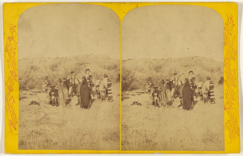
Nav-A-Jos. Living in Northern New Mexico. On a Trading Expedition.
Getty Museum · about 1871–1872
#7cd76ca7-0f2e-4b15-8b1f-9ac94ff3c17f
![One of the Rapids. This canon is 40 3/4 miles long and from 1,500 to 3,000 feet deep. [Colorado River. Cataract Canon.]](/api/proxy-image?url=https%3A%2F%2Fmedia.getty.edu%2Fiiif%2Fimage%2F9db685bc-603b-4195-a3fe-135b69912963%2Ffull%2F808%2C%2F0%2Fdefault.jpg)
One of the Rapids. This canon is 40 3/4 miles long and from 1,500 to 3,000 feet deep. [Colorado River. Cataract Canon.]
Getty Museum · about 1871–1872
#ad68d071-a97a-43bd-b36f-d2d7ba8f6a81
![One of the Rapids. This canon is 40 3/4 miles long and from 1,500 to 3,000 feet deep. [Colorado River. Cataract Canon.]](/api/proxy-image?url=https%3A%2F%2Fmedia.getty.edu%2Fiiif%2Fimage%2Fdc48392f-cf3a-497e-a34c-b30a41b15356%2Ffull%2F808%2C%2F0%2Fdefault.jpg)
One of the Rapids. This canon is 40 3/4 miles long and from 1,500 to 3,000 feet deep. [Colorado River. Cataract Canon.]
Getty Museum · about 1871–1872
#ef5c2467-f381-48e2-ac18-432467dcbfa2
![Portage at Log Cabin Cliff. This canon is 83 miles long and from 1,000 to 4,000 feet deep. [Green River. Canon of Desolation.]](/api/proxy-image?url=https%3A%2F%2Fmedia.getty.edu%2Fiiif%2Fimage%2F542a788a-8b0d-45f7-9b4c-f31e34aed041%2Ffull%2F808%2C%2F0%2Fdefault.jpg)
Portage at Log Cabin Cliff. This canon is 83 miles long and from 1,000 to 4,000 feet deep. [Green River. Canon of Desolation.]
Getty Museum · about 1871–1872
#995aa0b9-9c1e-413e-aa74-41d88493d81b
![Schroon Village and Lake from Isola Bella. [Upper Hudson and Adirondack Mountains]](/api/proxy-image?url=https%3A%2F%2Fmedia.getty.edu%2Fiiif%2Fimage%2Fc77dec8f-9c5a-4312-93e2-1ac445e77a18%2Ffull%2F808%2C%2F0%2Fdefault.jpg)
Schroon Village and Lake from Isola Bella. [Upper Hudson and Adirondack Mountains]
Getty Museum · about 1872–1873
#721e9aee-59f3-46db-a66e-21772f9efc16
![Shin-Ou-Av Too-Weap. This canon is 36 1/2 miles long and from 500 to 1,500 feet deep. [Green River]](/api/proxy-image?url=https%3A%2F%2Fmedia.getty.edu%2Fiiif%2Fimage%2F18d9f18f-3ec2-4835-bd7d-094e5b838702%2Ffull%2F808%2C%2F0%2Fdefault.jpg)
Shin-Ou-Av Too-Weap. This canon is 36 1/2 miles long and from 500 to 1,500 feet deep. [Green River]
Getty Museum · about 1871–1872
#b3247a09-d326-4ce9-94af-9cbdedf760cb
![Shin-Ou-Av Too-weap. This canon is 36 1/2 miles long and from 500 to 1,500 feet deep. [Green River. Still-Water Canon.]](/api/proxy-image?url=https%3A%2F%2Fmedia.getty.edu%2Fiiif%2Fimage%2Ffd2be507-1b7a-4f1c-8fb5-3c1efa22b8aa%2Ffull%2F808%2C%2F0%2Fdefault.jpg)
Shin-Ou-Av Too-weap. This canon is 36 1/2 miles long and from 500 to 1,500 feet deep. [Green River. Still-Water Canon.]
Getty Museum · about 1871–1872
#cc7cf6ab-cb2c-4b8b-b9a4-a0ec69dcc2a2
![Split Mountain Canon. Crags. [Green River]](/api/proxy-image?url=https%3A%2F%2Fmedia.getty.edu%2Fiiif%2Fimage%2F4d167758-20e3-44cf-9678-68904253c1a0%2Ffull%2F808%2C%2F0%2Fdefault.jpg)
Split Mountain Canon. Crags. [Green River]
Getty Museum · about 1871–1872
#29a40eb7-3d7a-4091-bf1f-0b6378a335a1
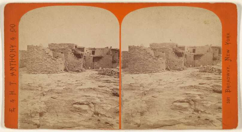
The Outer Walls of Shu-pah-lavy. This town has about 250 inhabitants, is governed by a chief. It is about 1500 ft. above...
Getty Museum · about 1871–1872
#3c4aa1b1-2ccf-4ac7-8d68-eee2f43cd871
![Trin-Alcove Bend. This canon is 55 1/2 miles long and from 300 to 2,000 feet deep. [Green River. Labyrinth Canon.]](/api/proxy-image?url=https%3A%2F%2Fmedia.getty.edu%2Fiiif%2Fimage%2F5830e73e-b497-40c1-98ad-81edf0250ff2%2Ffull%2F808%2C%2F0%2Fdefault.jpg)
Trin-Alcove Bend. This canon is 55 1/2 miles long and from 300 to 2,000 feet deep. [Green River. Labyrinth Canon.]
Getty Museum · about 1871–1872
#5954f7fe-5f0a-4bcb-881e-1cadbd3c6983
![Trinalcove. This canon is 55 1/2 miles long and from 300 to 2,000 feet deep. [Green River. Labyrinth Canon.]](/api/proxy-image?url=https%3A%2F%2Fmedia.getty.edu%2Fiiif%2Fimage%2Fac4d56d0-41ea-4323-86d9-8f9618db4d07%2Ffull%2F808%2C%2F0%2Fdefault.jpg)
Trinalcove. This canon is 55 1/2 miles long and from 300 to 2,000 feet deep. [Green River. Labyrinth Canon.]
Getty Museum · about 1871–1872
#0cefa55d-bf4d-4c18-9d0b-bc9de459a91c
![Trinalcove. This canon is 55 1/2 miles long and from 300 to 2,000 feet deep. [Green River. Labyrinth Canon.]](/api/proxy-image?url=https%3A%2F%2Fmedia.getty.edu%2Fiiif%2Fimage%2F9f2643cc-9364-4857-876f-6a3c868cc133%2Ffull%2F808%2C%2F0%2Fdefault.jpg)
Trinalcove. This canon is 55 1/2 miles long and from 300 to 2,000 feet deep. [Green River. Labyrinth Canon.]
Getty Museum · about 1871–1872
#355c7c79-fe0b-435c-9f25-644088706a4f
![View of the Wall. This canon is 40 3/4 miles long and from 1,500 to 3,000 feet deep. [Colorado River. Cataract Canon.]](/api/proxy-image?url=https%3A%2F%2Fmedia.getty.edu%2Fiiif%2Fimage%2F18c372dc-0dc1-4cd2-917e-6cd672ff4566%2Ffull%2F808%2C%2F0%2Fdefault.jpg)
View of the Wall. This canon is 40 3/4 miles long and from 1,500 to 3,000 feet deep. [Colorado River. Cataract Canon.]
Getty Museum · about 1871–1872
#34e9a92c-3477-4e4e-945e-96588898cbe6

Visiting The Settler. U-In-Ta Utes. Living in the U-in-ta Valley, on the Western Slope of the Wasatch Mountains, in Utah.
Getty Museum · about 1871–1872
#8c0c3b9a-b87f-4069-92f0-b79021ff36fe
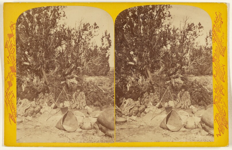
Waiting for the Kettle to Boil. Kai-Vav-Its. A tribe of the Pai Utes, living on the Kai-bab Plateau, near the Grand Canon...
Getty Museum · about 1871–1872
#82a1ac73-1bbb-4a72-acbb-d61188ad77f2
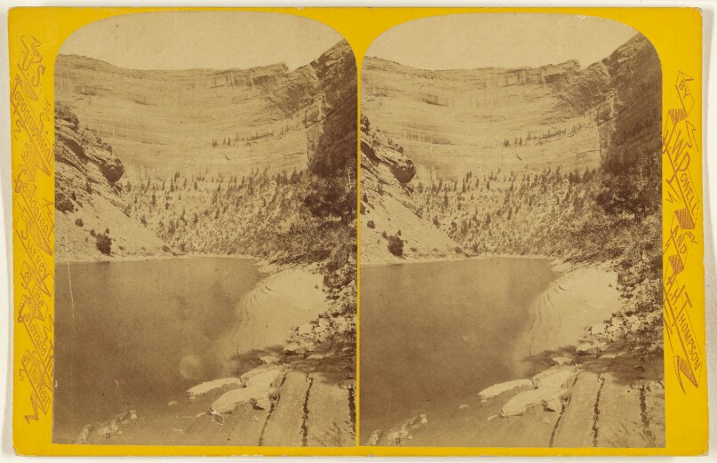
Yampa Canon. Amphitheatre Cliff. Looking Down the River.
Getty Museum · about 1871–1872
#8fa2259c-84ac-4ca3-8521-068f847a2670