Art Institute of Chicago
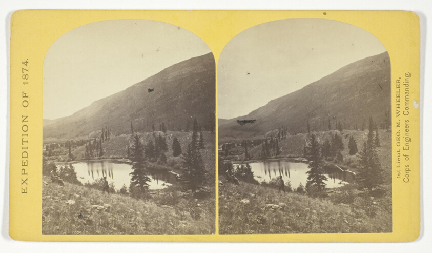
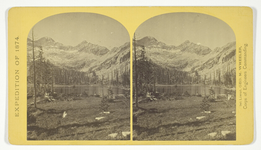
Beaver Lake, Conejos Cañon, Colorado, 9.000 feet above sea-level, and 30 miles from mouth of Cañon, No. 35 from the series "Geographical Explorations and Surveys West of the 100th Meridian"
Timothy O'Sullivan (American, born Ireland, 1840–1882)
- Date
- 1874
- Medium
- Albumen print, stereo
- Culture
- United States
- Department
- Photography and Media
- Institution
- Art Institute of Chicago
The authoritative record is held by Art Institute of Chicago. LinkedCulture surfaces this object and its connections; it does not alter institutional metadata.
Linked open data
Authority identifiers that link this record into the wider web of cultural data — stable references you can follow to the source.
- Object type
- AAT300046300
Related across collections
Semantically similar works from Art Institute of Chicago and other institutions.

Beaver Lake, Conejos Canon, Colorado, 9,000 feet above sea-level, and 30 miles from mouth of Canon.
Getty Museum
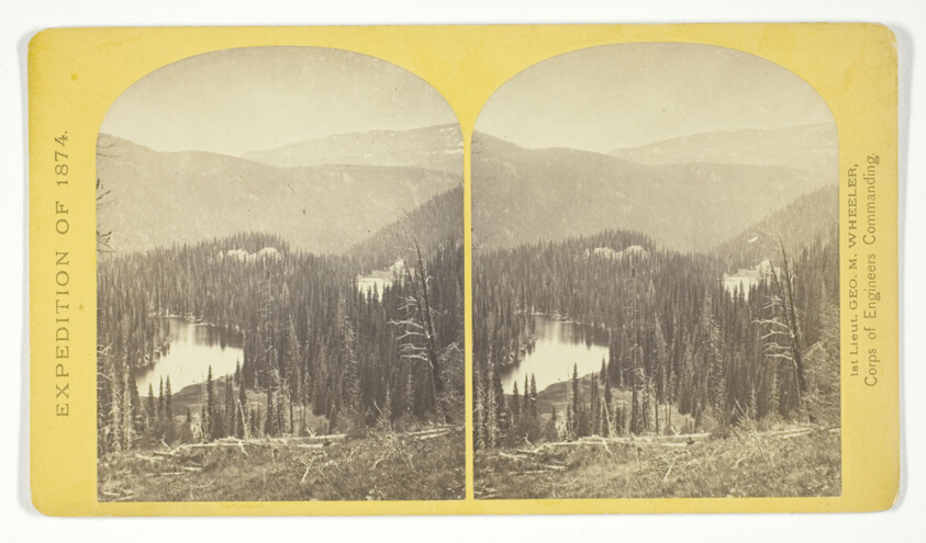
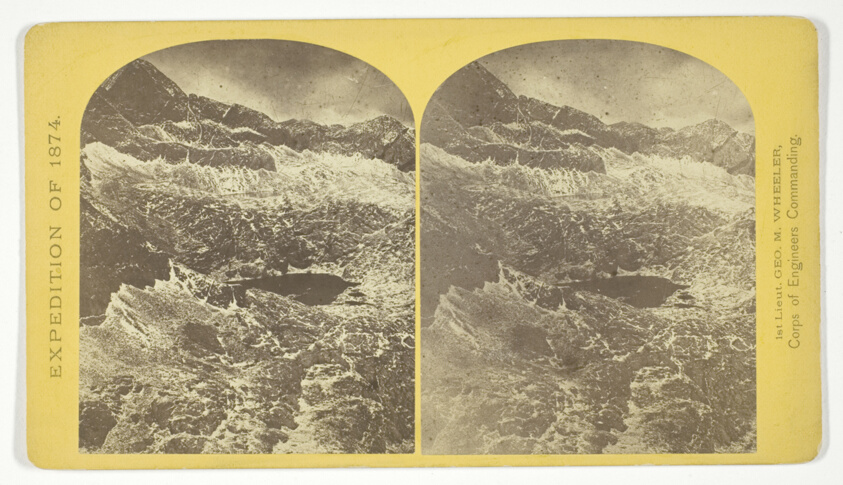
Lost Lakes, head of Conejos Cañon, Colorado, in the Sierra San Juan range, near divide between Conejos and south fork of Alamosa Rivers, surrounded by forest of Douglass spruce, and approximately 11.000 feel above sea-level, No. 37 from the series "Geographical Explorations and Surveys West of the 100th Meridian"
Art Institute of Chicago
Cañon, Valley of the Conejos River, looking south from vicinity of "Lost Lakes", No. 36 from the series "Geographical Explorations and Surveys West of the 100th Meridian"
Art Institute of Chicago
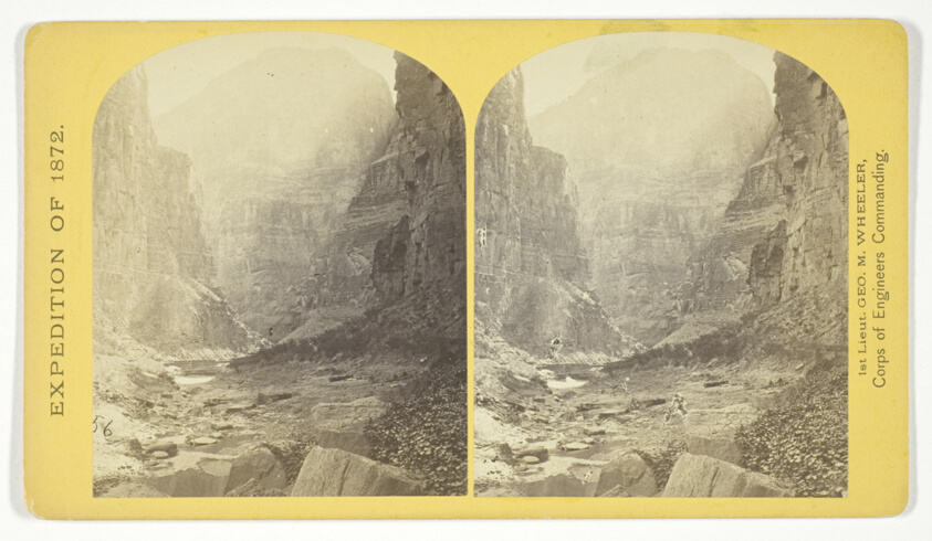
The Cañon of Kanab Creek, near its junction with the Grand Cañon of the Colorado. In the foreground is a dripping spring affording a shower bath. Temperature, 69° Fahr, No. 8 from the series "Geographical Explorations and Surveys West of the 100th Meridian"
Art Institute of Chicago
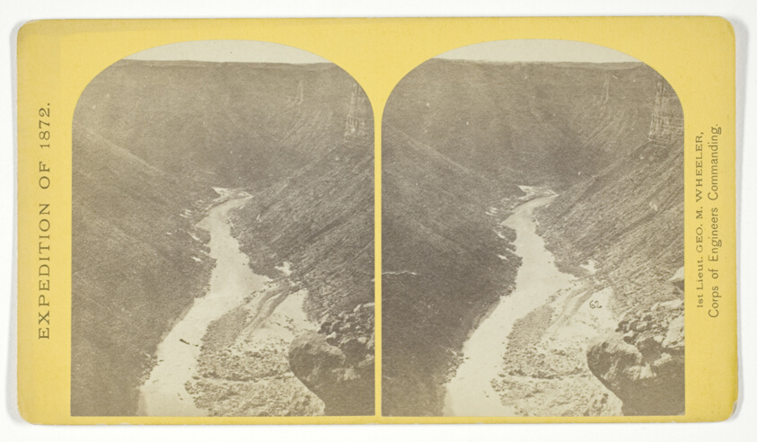
The mouth of Kanab Creek. The beds of the Colorado River and its tributary here lie in gorges cut by the running water to the depth of about 3.500 feet below the general surgace of the country. The highest point seen in the picture is 2.500 feet above the water, and the walls are here too steep to be scaled, No. 10 from the series "Geographical Explorations and Surveys West of the 100th Meridian"
Art Institute of Chicago
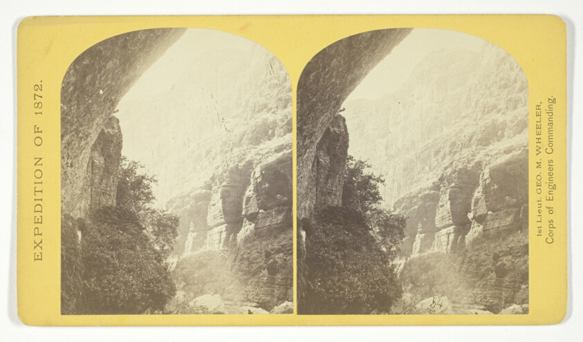
Marble Cañon, one of the gorges of the Colorado here, 1.200 feet deep. The steep cliff is gray limestone and the slope below a brilliant red sandstone, No. 13 from the series "Geographical Explorations and Surveys West of the 100th Meridian"
Art Institute of Chicago
Grotto Spring, Grand Cañon, Colorado River, No. 4 from the series "Explorations and Surveys West of the 100th Meridian"
Art Institute of Chicago
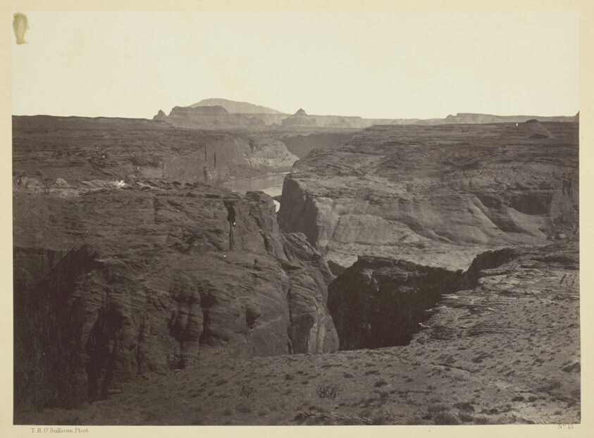
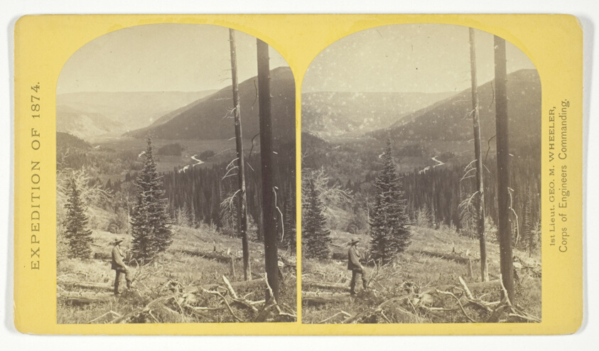
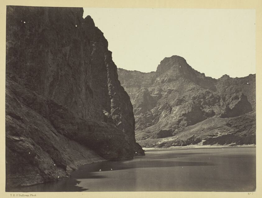
Cañon of the Colorado River, near Mouth of San Juan River, Arizona
Art Institute of Chicago
Alpine Lake, in the Cerro Blanco Mountains, Colorado. One of a group of ten lakes at the main head of Ute Creek. 11.000 feet above sea-level. Cerro Blanco Peak rises 14.269 feet abov the sea, lying to the westward, No. 45 from the series "Geographical Explorations and Surveys West of the 100th Meridian"
Art Institute of Chicago
Alpine lakes, and mountain scenery, in the Cerro Blanco Mountains, Colorado, 13.000 feet above sea-level, No. 47 from the series "Geographical Explorations and Surveys West of the 100th Meridian"
Art Institute of Chicago
View of Grand Cañon walls, near mouth of Diamond River. From water line to first shelf 1.500 feet; from shelf to top of table 3.500 feet. Distance from point of view to top of walls 3 miles, No. 6 from the series "Geographical Explorations and Surveys West of the 100th Meridian"
Art Institute of Chicago
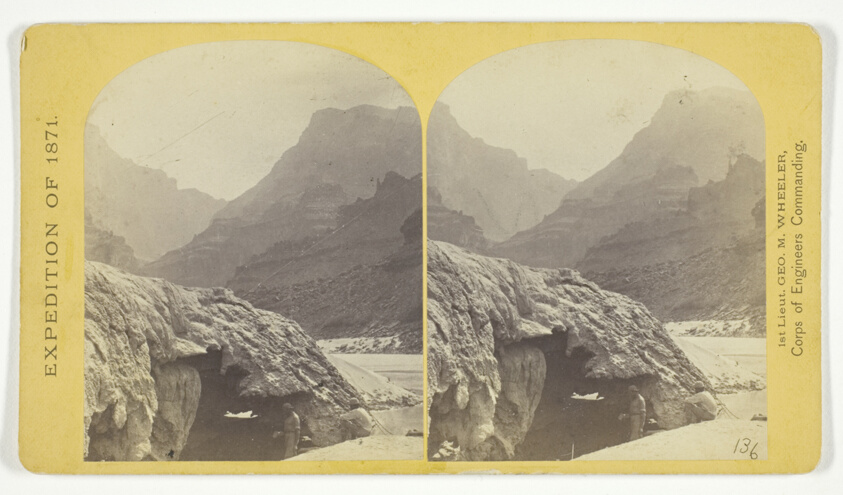
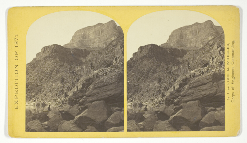
Black Cañon, Colorado River, looking below near Camp 7. Explorations in Nevada and Arizona, Expedition of 1871. Lieut. Geo. M. Wheeler, Com'd'g.
Art Institute of Chicago