Daniel Hudson Burnham, American, 1846-1912
1846–1912
23 works on LinkedCulture
Works
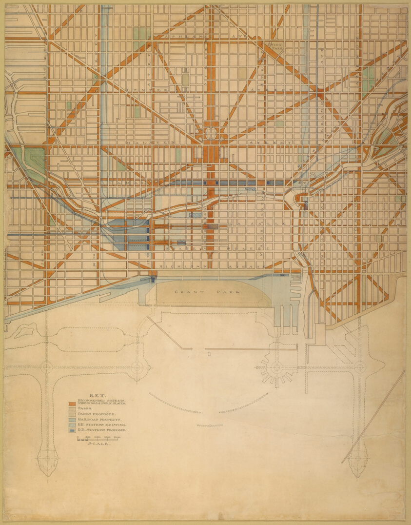
View as IIIF ↗Plan of the Center of the City, the 1909 Plan of Chicago
Art Institute of Chicago · 1909
#196352
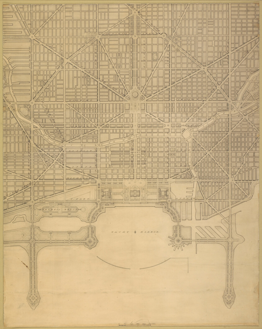
Plate 110 from The Plan of Chicago, 1909: Chicago. Plan of the Complete System of Street Circulation; Railway Stations; Parks, Boulevard Circuits and Radial Arteries; Public Recreation Piers, Yacht Harbor, and Pleasure-Boat Piers; Treatment of Grant Park; the Main Axis and the Civic Center, Presenting the City as a Complete Organism in which All its Functions are Related One to Another in such a Manner that it will Become a Unit
Art Institute of Chicago · 1909
#196350
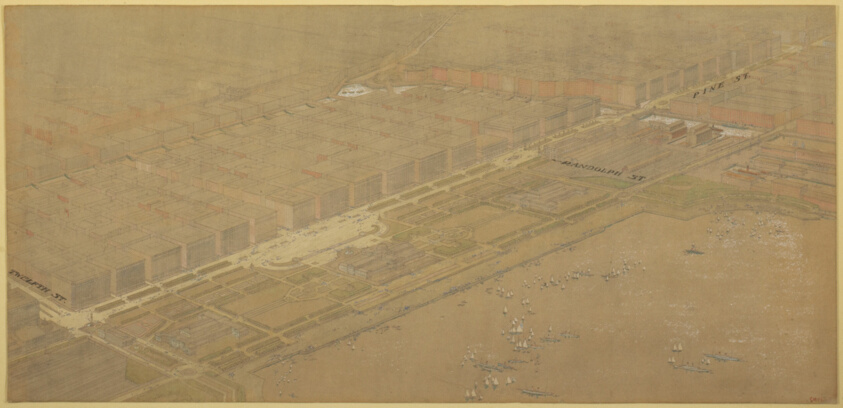
Plate 114 from The Plan of Chicago, 1909: Chicago. Proposed Boulevard and Parkway on Michigan Avenue and Pine Street
Art Institute of Chicago · 1909
#196354
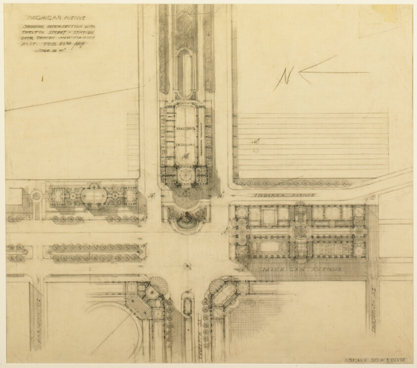
Plate 119 from The Plan of Chicago, 1909: Chicago. Sketch Plan of the Intersection of Michigan Avenue and Twelfth Street
Art Institute of Chicago · 1907
#196356
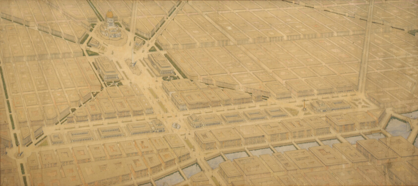
Plate 122 from The Plan of Chicago, 1909: Chicago. Railway Station Scheme West of the River Between Canal and Clinton Streets, Showing the Relation With the Civic Center.
Art Institute of Chicago · 1905
#196359

Plate 125 from The Plan of Chicago, 1909: Chicago. Elevation of Grant Park and Harbor; the Eastern Facade of the City on Michigan Avenue, and the Dome of the Administration Building of the Civic Center, Looking from Lake Michigan.
Art Institute of Chicago · 1909
#196370

Plate 126 from The Plan of Chicago, 1909: Chicago. Section Looking North, Taken through Proposed Grand Axis of the City, Showing the Civic Center and Grant Park.
Art Institute of Chicago · 1909
#196371
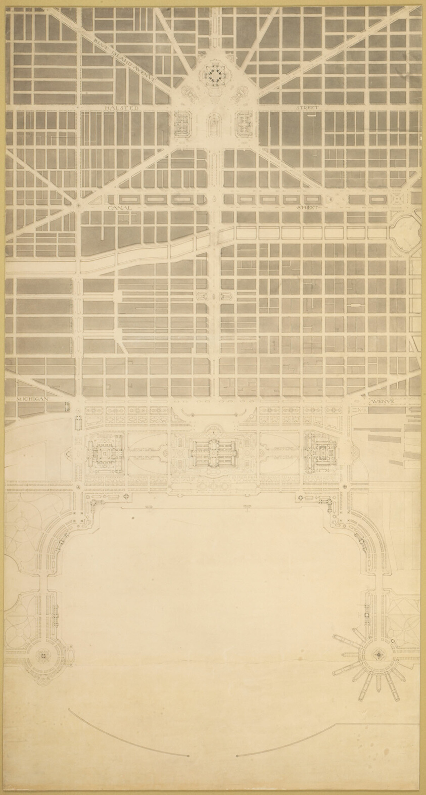
Plate 129 from The Plan of Chicago, 1909: Chicago. The Business Center of the City, Within the First Circuit Boulevard, Showing the Proposed Grand East-and-West Axis and Its Relation to Grant Park and the Yacht Harbor; the Railway Terminals Schemes on the South and West Sides, and the Civic Center
Art Institute of Chicago · 1909
#196372
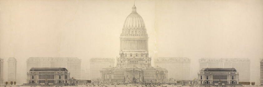
Plate 131 from The Plan of Chicago, 1909: Chicago. Elevation Showing the Group of Buildings Constituting the Proposed Civic Center.
Art Institute of Chicago · 1909
#196375
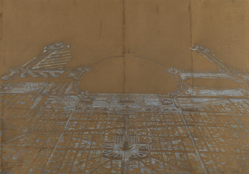
Plate 137 from The Plan of Chicago, 1909: Chicago. View of the Proposed Development in the Center of the City, from Twenty-Second Street to Chicago Avenue, Looking Towards the East Over the Civic Center to Grant Park and Lake Michigan
Art Institute of Chicago · 1907
#196398
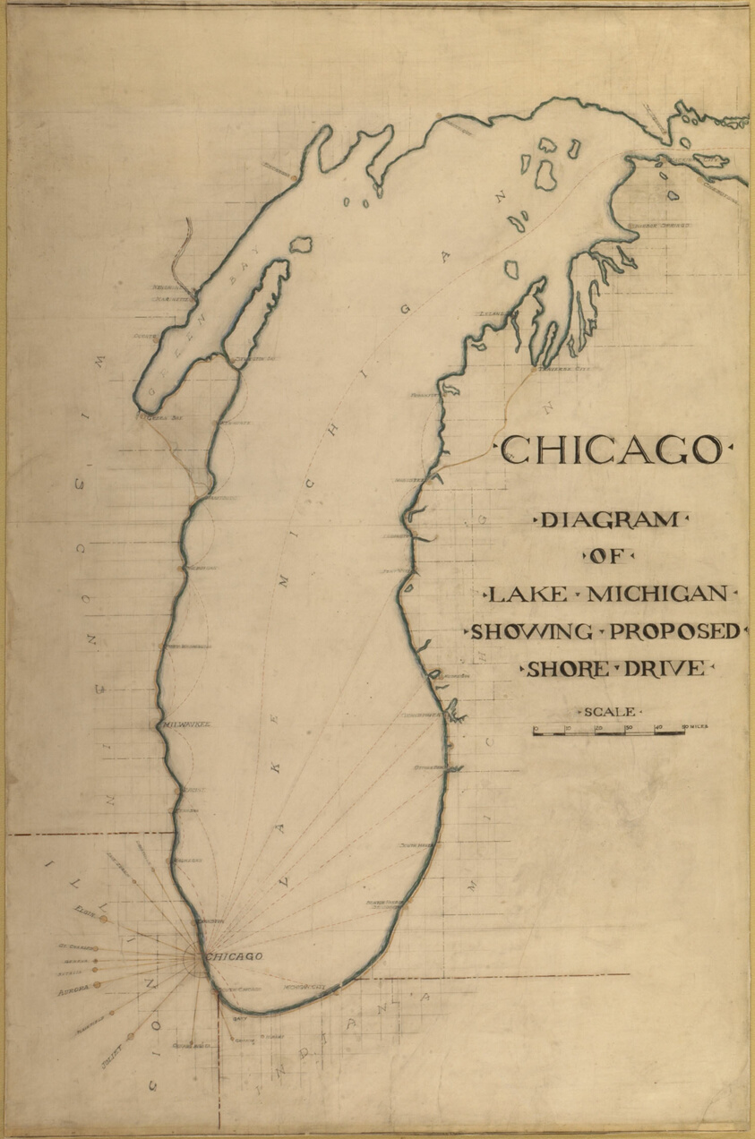
Plate 35 from Plan of Chicago 1909: Chicago, and Diagram of Lake Michigan. Proposed Roadway to connect all the towns along the shores of the Lake.
Art Institute of Chicago · 1909
#196322
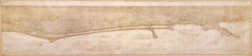
Plate 49 from Plan of Chicago 1909: Chicago. View of the City from Jackson Park to Grant Park, Looking Towards the West. The proposed shore treatment as a park enclosing a waterway (or a series of lagoons) is shown, together with the enlarged yacht harbor, recreation piers, and a scheme for Grant Park.
Art Institute of Chicago · 1907
#196323
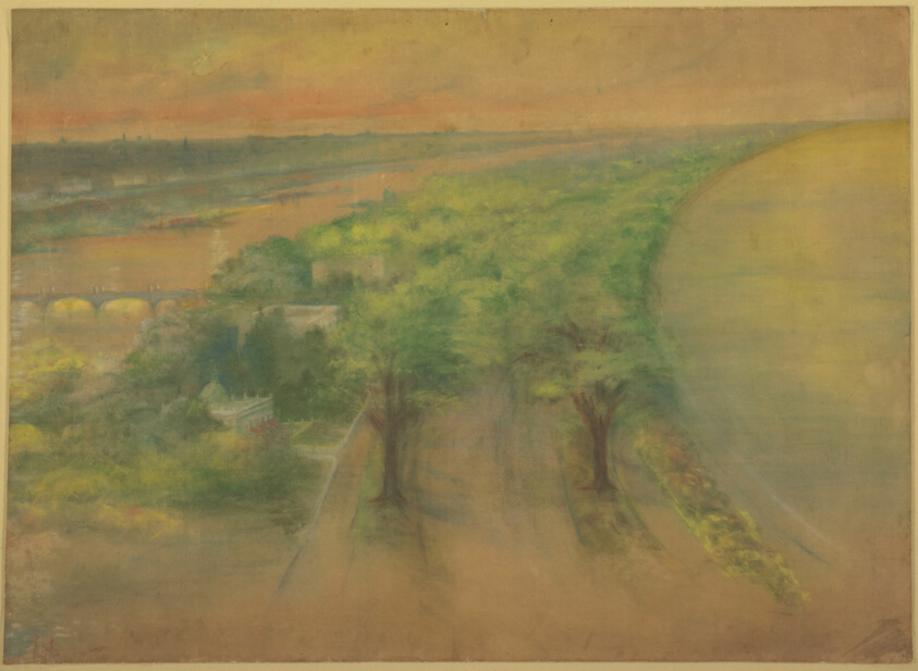
Plate 50 A from Plan of Chicago 1909: Chicago. View of the Proposed Park on the South Shore Looking Northwest Towards the City.
Art Institute of Chicago · 1896
#196324
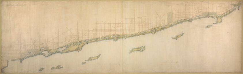
Plate 50 B from Plan of Chicago 1909: Lake Shore from Chicago Avenue on the south to Wilmette on the North.
Art Institute of Chicago · 1909
#196325
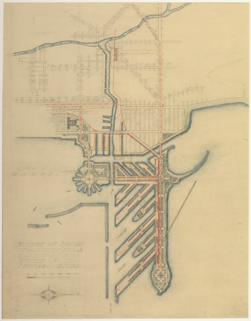
Plate 71 from The Plan of Chicago, 1909: Chicago. Sketch Diagram of Docks Suggested at the Mouth of the Chicago River for Package Freight Steamers.
Art Institute of Chicago · 1909
#196329
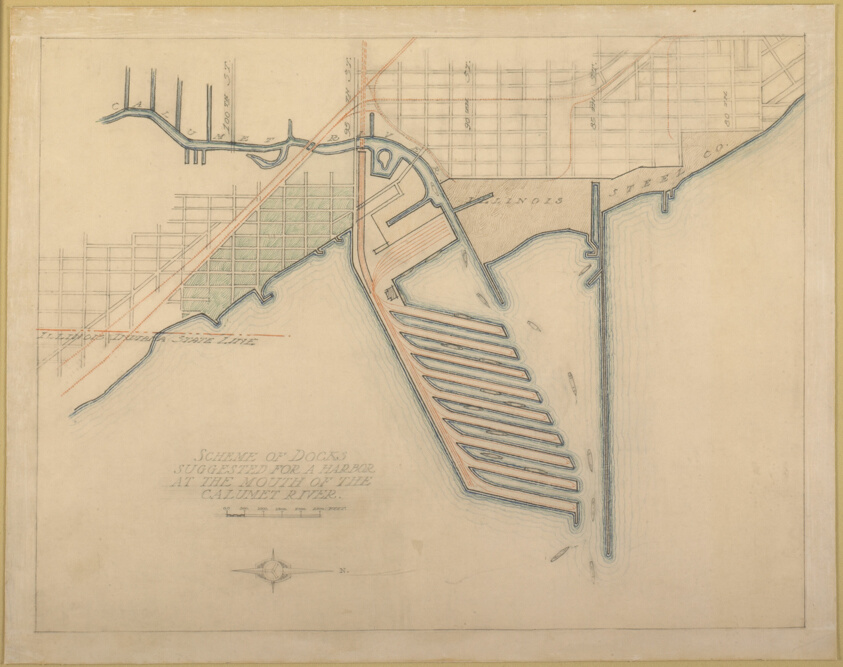
Plate 72 from The Plan of Chicago, 1909: Chicago. Sketch Diagram of Docks Suggested at the Mouth of the Calumet River for Bulk Freight Steamers; Access To Be Had Without Opening of Bridges.
Art Institute of Chicago · 1909
#196330
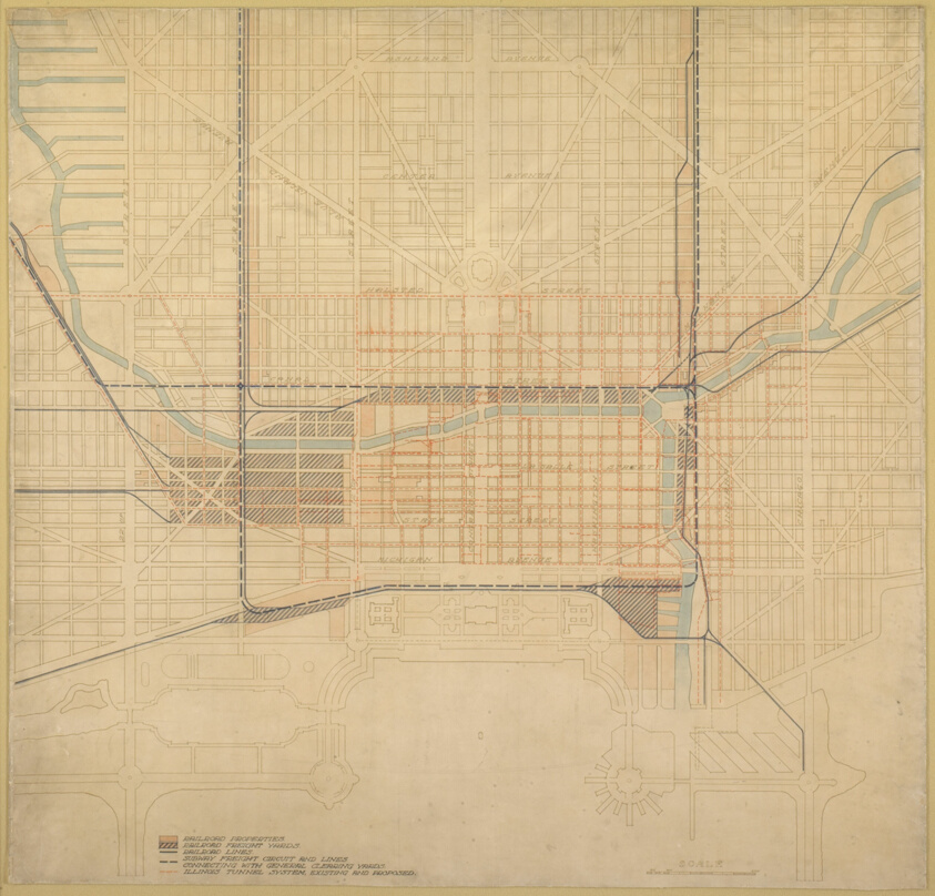
Plate 74 from The Plan of Chicago,1909: Chicago. Diagram of the City Center, Showing the General Location of Existing Freight Yards and Railroad Lines, the Present Tunnel System and Proposed Circuit, and Connections for all these Services, Running to the Central Clearing Yards.
Art Institute of Chicago · 1909
#196335
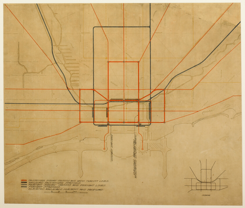
Plate 75 from The Plan of Chicago, 1909: Chicago. Diagram of the City, Showing Complete System of Inner Circuits
Art Institute of Chicago · 1909
#196336
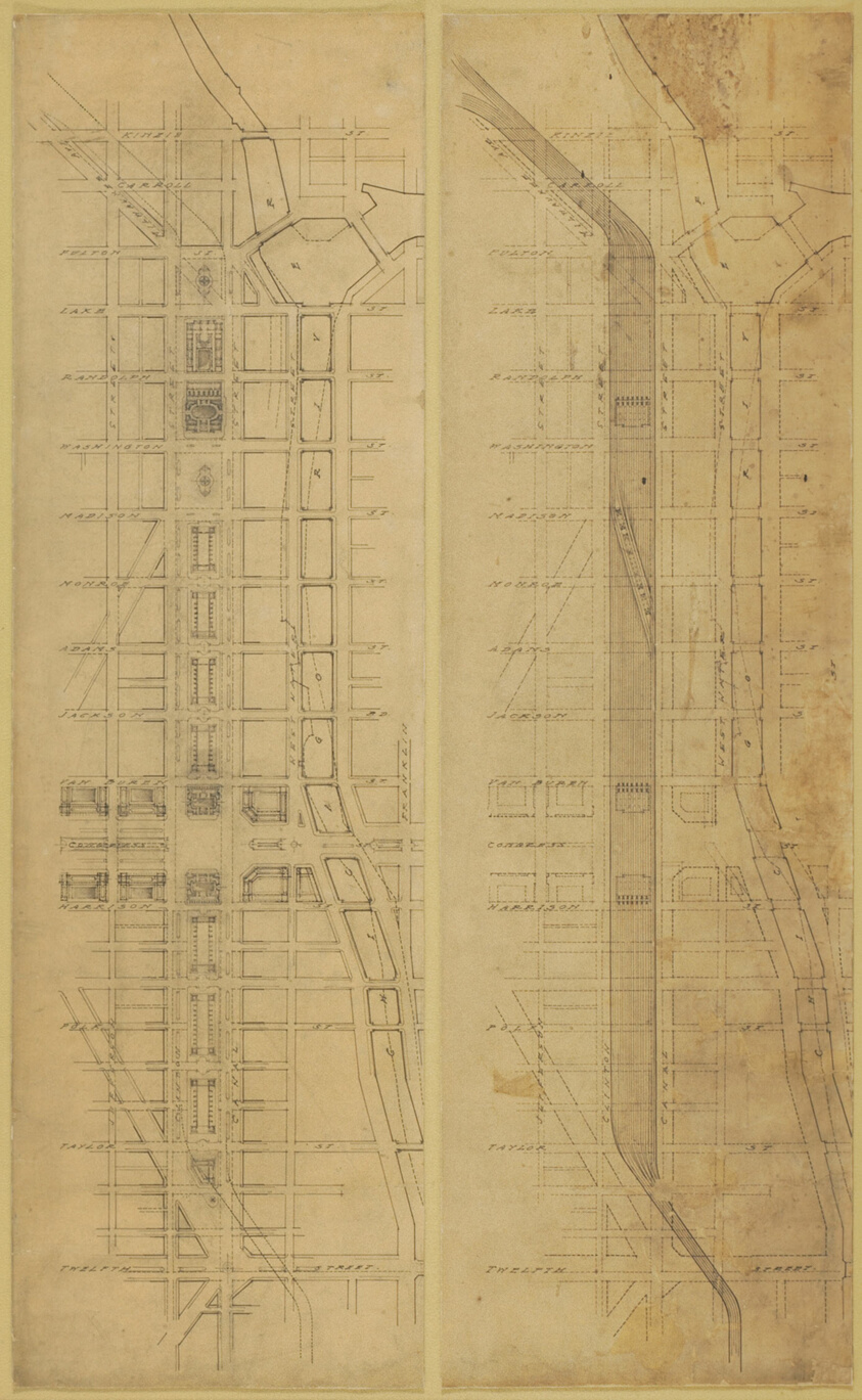
Plate 78 (2 Drawings) from The Plan of Chicago, 1909: Suggested Location and Arrangement of the Railway Passenger Stations West of the River. Subway Scheme: 1. Plan of Street Level. 2. Plan Below Street Level
Art Institute of Chicago · 1909
#196344
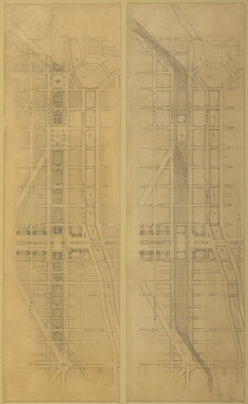
Plate 79 (2 Drawings) from The Plan of Chicago, 1909: Suggested Location and Arrangement of the Railway Passenger Stations West of the River. Overhead Scheme: 1. Plan at Street Level. 2. Plan Above Street Level
Art Institute of Chicago · 1909
#196345
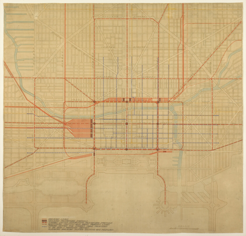
Plate 80 from The Plan of Chicago, 1909: Chicago. Diagram of City Center, Showing the Proposed Arrangement of Railroad Passenger Stations, the Complete Traction System, Including Rapid Transit, Subway, and Elevated Roads, and the Circuit Subway Line.
Art Institute of Chicago · 1909
#196346
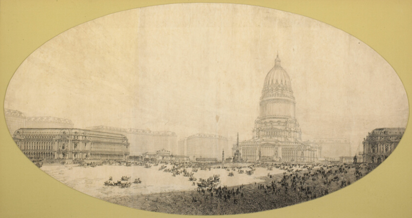
Proposed Civic Center Square, Plan of Chicago
Art Institute of Chicago · 1909
#196402
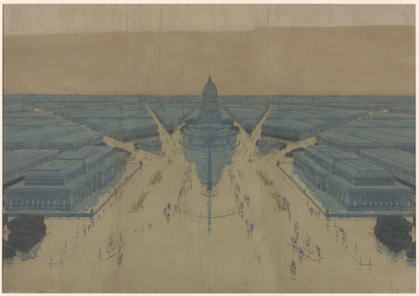
View of the Proposed Civic Center Plaza and Buildings, The 1909 Plan of Chicago
Art Institute of Chicago · 1908
#196393