Cleveland Museum of Art
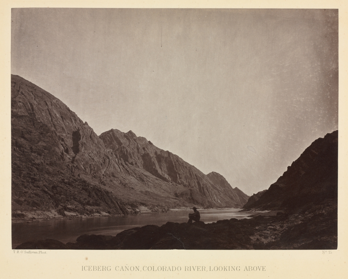
Iceberg Canyon, Colorado River Looking Above
Timothy H. O'Sullivan
- Date
- c. 1871
- Medium
- albumen print from wet collodion negative
- Culture
- America
- Department
- Photography
- Institution
- Cleveland Museum of Art
Timothy H. O'Sullivan served on the first and last seasons (1871-73) of the geographical expedition, led by Lieutenant George Montague Wheeler, to explore and map lands west of the 100th meridian. Wheeler sought an inland passage for troops from Idaho and Utah southward to Arizona and desired to document the topography to benefit future settlement. O'Sullivan's unequaled experience in the field earned him a boat of his own, Picture , from which he slowly explored the canyons from his low vantage point on the Colorado River. In this carefully composed picture of Iceberg Canyon, he seamlessly blended documentary and aesthetic interests, bringing formal and geological order to what is perhaps his best photograph taken along the Colorado. Contemplating the beautiful scenery, the centrally positioned, seated figure introduces human participation to a scene of geological wonder.
The authoritative record is held by Cleveland Museum of Art. LinkedCulture surfaces this object and its connections; it does not alter institutional metadata.
Related across collections
Semantically similar works from Cleveland Museum of Art and other institutions.

Black Canyon, Colorado River, Looking Above from Mirror Bar
Minneapolis Institute of Art
Black Cañon, Colorado River, looking below near Camp 7. Explorations in Nevada and Arizona, Expedition of 1871. Lieut. Geo. M. Wheeler, Com'd'g.
Art Institute of Chicago
Iceberg Cañon, Colorado River, Looking Above
Art Institute of Chicago
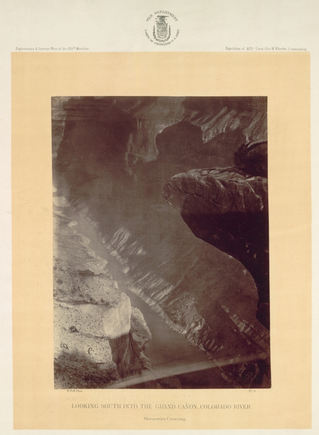
Looking South into the Grand Canyon, Colorado River, Sheavwitz
Cleveland Museum of Art
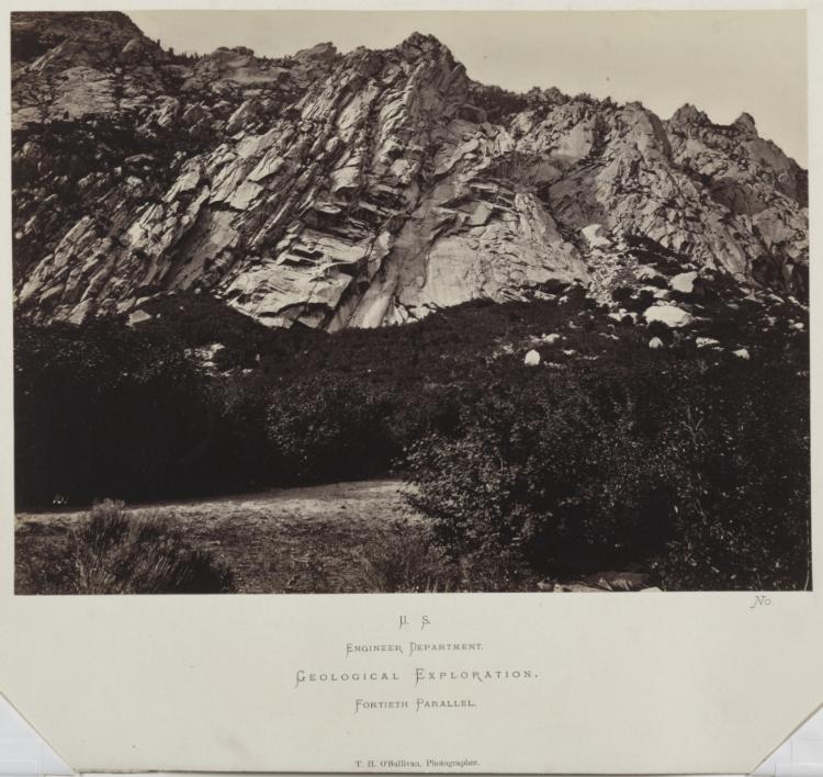
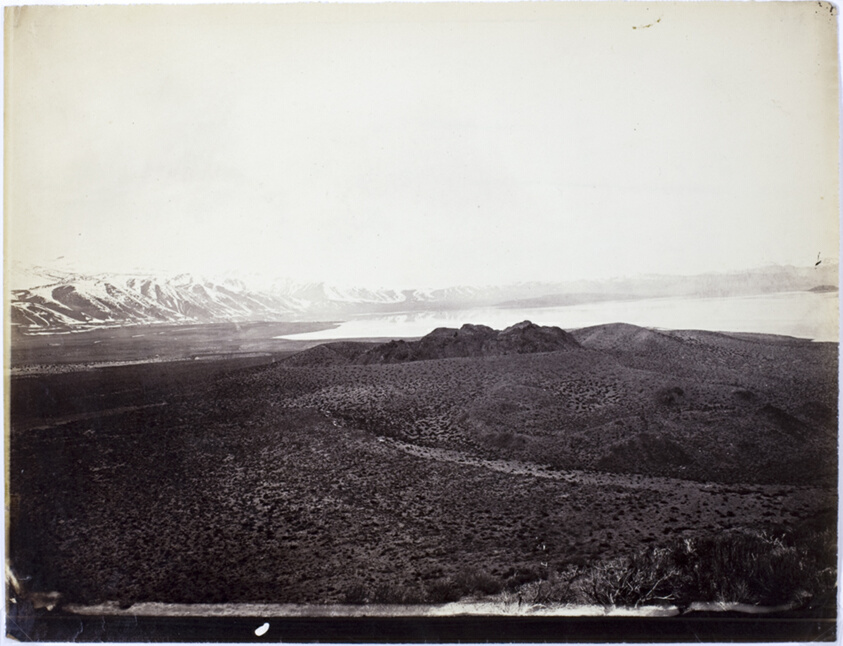
East Humboldt Mountains, Utah
Cleveland Museum of Art
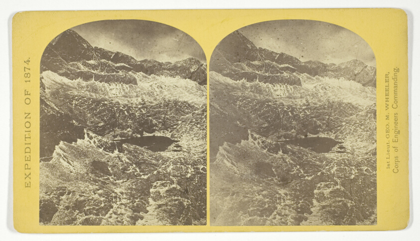
Alpine lakes, and mountain scenery, in the Cerro Blanco Mountains, Colorado, 13.000 feet above sea-level, No. 47 from the series "Geographical Explorations and Surveys West of the 100th Meridian"
Art Institute of Chicago
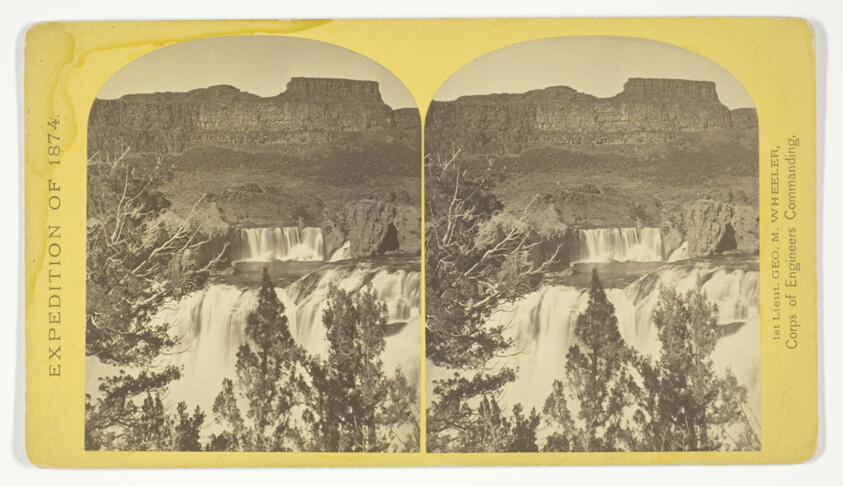
Shoshone Falls, Snake River, Idaho, looking through the timber, and showing the main fall, and upper or "Lace Falls", No. 49 from the series "Geographical Explorations and Surveys West of the 100th Meridian"
Art Institute of Chicago
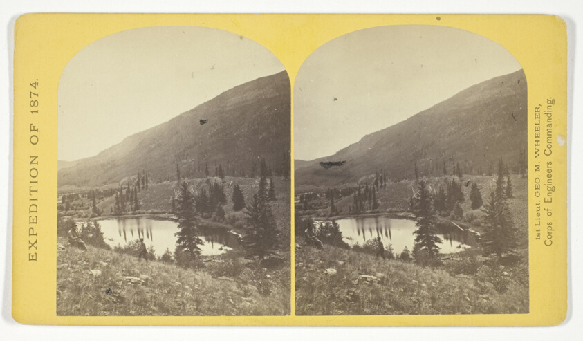
Beaver Lake, Conejos Cañon, Colorado, 9.000 feet above sea-level, and 30 miles from mouth of Cañon, No. 35 from the series "Geographical Explorations and Surveys West of the 100th Meridian"
Art Institute of Chicago
Mono Lake, Volcano, 13,000 Feet
Art Institute of Chicago
Cañon, Valley of the Conejos River, looking south from vicinity of "Lost Lakes", No. 36 from the series "Geographical Explorations and Surveys West of the 100th Meridian"
Art Institute of Chicago

Grand Canyon of the Colorado River
Getty Museum
View of Grand Cañon walls, near mouth of Diamond River. From water line to first shelf 1.500 feet; from shelf to top of table 3.500 feet. Distance from point of view to top of walls 3 miles, No. 6 from the series "Geographical Explorations and Surveys West of the 100th Meridian"
Art Institute of Chicago